
Population 3,078 (2011 census) | Postcode(s) 2322 Parish Alnwick Postal code 2322 | |
 | ||
Location 22 km (14 mi) NNW of Newcastle12 km (7 mi) SE of Maitland | ||
Beresfield /ˈbɛrəsfiːld/ is a north-western suburb of Newcastle, New South Wales, Australia 22 kilometres (14 mi) from Newcastle's central business district. It is part of the City of Newcastle local government area.
Contents
Map of Beresfield NSW 2322, Australia
The suburb of Beresfield had a population of 7,078 in 2011.
Geography
Beresfield, like the neighbouring suburbs of Tarro, Woodberry and Thornton, is located on a low ridge rising out of the surrounding floodplain and wetlands of the Hunter River. Beresfield is divided by Anderson Drive (formerly Maitland Road) which runs east to west. The part of Beresfield to the north of Anderson Drive includes the shopping centre and railway station. The part south of Anderson Drive includes the bowling club, swimming pool, sports oval, golf course and Newcastle Memorial Park cemetery and crematorium.
Transport
It has a railway station, which opened in 1925. The station is served by NSW TrainLink's Hunter line. The suburb is bisected by the New England Highway.
Facilities
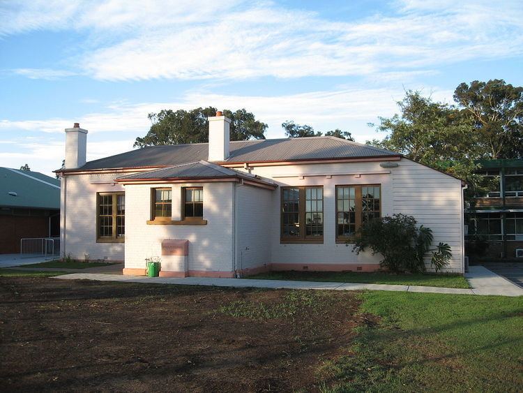
The first public school in Beresfield was Upper Hexham Public School, now in the grounds of Beresfield Public School. The closest public secondary school is Francis Greenway High School.
Beresfield has a small shopping centre featuring a post office, banks, Safeways (Woolworths) supermarket, newsagent, physiotherapist, doctors' surgeries, petrol stations, take-aways and other stores. There is a branch of the Newcastle Region Library and an unused police station.
Sporting facilities include a swimming pool, bowling club, golf course, cricket oval and rugby and soccer fields.
Churches include the Anglican church of St Pauls, which held its first service in 1949. The first timber St Pauls and its hall were built in 1955. A second brick church was built in 1980 following a fire.
In the 1970s a new Roman Catholic parish church, Our Lady of Lourdes, was built at Beresfield. The original parish church had been located in Tarro. A station was opened at Beresfiled and to serve as a mass centre a former Army hut was transported from Greta and erected where the present parish church now stands. St Jude's was demolished with the new church taking the title of the old Parish church.
Active clubs and associations include local Scouting, Girl Guides, Lions & Rotary Clubs. Beresfield Thornton Girl Guide District is a very active youth organisation. The Girl Guides continue to give service to the local community by participating in Clean Up Australia Day, fundraising for charity and collecting items for those less fortunate.
Beresfield is the location of Newcastle Memorial Park cemetery and crematorium.
Sport
Beresfield has many sporting clubs including Thornton-Beresfield Bears Rugby League Club, Beresfield Memorial Cricket Club, Beresfield Football & Senior Soccer Clubs, Beresfield Touch Football, Beresfield Netball Club and Beresfield Golf Club.
Industry
The Kent Colliery was located in Beresfield. In the 1940s the colliery was the subject of an investigation into subsidence complaints.
A major employer in the area has been the Baiada/Steggles poultry processing plant.