
Postal code 2731 Population 3,409 (1 Jan 2007) | Time zone CET (UTC+1) Website alphenaandenrijn.nl Local time Friday 12:42 PM | |
 | ||
Weather 8°C, Wind SE at 21 km/h, 72% Humidity | ||
Benthuizen is a village in the Dutch province of South Holland. It is a part of the municipality of Alphen aan den Rijn, and lies about 1 km east of Zoetermeer.
Map of Benthuizen, Netherlands
In 2001, the town of Benthuizen had 3215 inhabitants. The built-up area of the town was 0.51 km², and contained 1110 residences. The statistical area "Benthuizen", which also can include the peripheral parts of the village, as well as the surrounding countryside, has a population of around 3450.
Benthuizen has a long history that goes back to the beginning of the 12th century, it was then that the village was described for the first time. Until 1991 Benthuizen was an independent municipality in that year the municipality became part of the larger municipality Rijneveld. In 1993 the name was changed to Rijnwoude.
The HSL-Zuid being constructed passes Benthuizen on the eastern side. Also the new Bentwoud (forest) is planted to the east of Benthuizen.
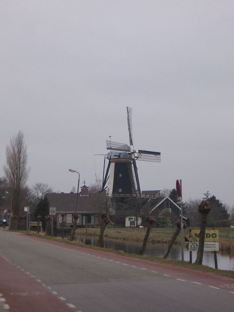
Benthuizen has several buildings that are officially designated monuments. One of these is the historic windmill known as molen de Haas.