
Country United States County Hamilton FIPS code 36-05958 Elevation 705 m Local time Friday 6:08 AM | State New York Time zone Eastern (EST) (UTC-5) GNIS feature ID 0978723 Population 192 (2010) | |
 | ||
Weather -10°C, Wind W at 13 km/h, 60% Humidity Area 215.5 km² (214.2 km² Land / 129 ha Water) | ||
Benson is a town in Hamilton County, New York, USA. The population was 192 at the 2010 census.
Contents
Map of Benson, NY 12134, USA
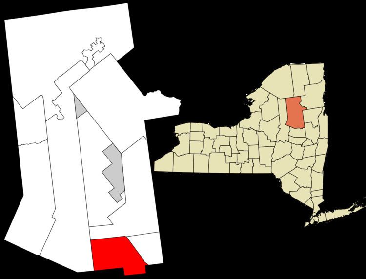
The Town of Benson is on the south border of Hamilton County and is northwest of Schenectady. The current Town Supervisor is Ermina Pincombe.
History
Benson was formed in 1860 from the towns of Hope and Mayfield (now in Fulton County). Benson once possessed an iron mine.
Geography
According to the United States Census Bureau, the town has a total area of 83.2 square miles (215 km2), of which, 82.7 square miles (214 km2) of it is land and 0.5 square miles (1.3 km2) of it (0.61%) is water.
The Sacandaga River defines the town line in the southeast part of the town.
The south town line is the border of Fulton County.
New York State Route 30 passes through the southeast corner of Benson.
Demographics
As of the census of 2000, there were 201 people, 80 households, and 58 families residing in the town. The population density was 2.4 people per square mile (0.9/km²). There were 160 housing units at an average density of 1.9 per square mile (0.7/km²). The racial makeup of the town was 99.00% White, and 1.00% from two or more races. Hispanic or Latino of any race were 1.49% of the population.
There were 80 households out of which 28.8% had children under the age of 18 living with them, 56.3% were married couples living together, 7.5% had a female householder with no husband present, and 27.5% were non-families. 20.0% of all households were made up of individuals and 8.8% had someone living alone who was 65 years of age or older. The average household size was 2.51 and the average family size was 2.81.
In the town, the population was spread out with 18.4% under the age of 18, 13.9% from 18 to 24, 20.9% from 25 to 44, 30.3% from 45 to 64, and 16.4% who were 65 years of age or older. The median age was 44 years. For every 100 females there were 103.0 males. For every 100 females age 18 and over, there were 105.0 males.
The median income for a household in the town was $48,250, and the median income for a family was $50,000. Males had a median income of $39,375 versus $23,750 for females. The per capita income for the town was $20,992. None of the families and 2.4% of the population were living below the poverty line, including no under eighteens and 6.8% of those over 64.