
Population 200 (2014) Website http//www.ew.govt.nz/ | Name Environment Waikato Mayor Brian Hanna | |
 | ||
Name Waitomo District Council Website http//www.waitomo.govt.nz/ Land Area 3,546.76 km2 (1,369 sq mi) Neighborhoods Tapuwae, Barryville, Porootarao | ||
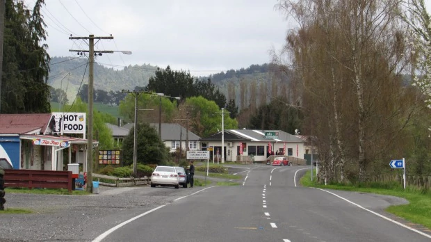
Benneydale is a small town in the Waitomo District. It is situated on State Highway 30 approximately 35 km southeast of Te Kuiti.
Map of Benneydale 3987, New Zealand
After coal was discovered in 1931 a mine was built at the towns present location. In 1940 the government brought the mine and created the township of Benneydale. Its name is a portmanteau of the undersecretary of mines at the time (Mr Benney) and the mine superintendent (Mr Dale). It is the only town in the King Country which does not have a Maori name.
At its peak the town had a population of 2000 with a butchery, bakery and picture theatre. There were jobs in the coal mine until the early 1990s, but like many other rural areas in New Zealand the town has slowly declined.
It mainly operates as a farm service town and it is the closest town to the Timber Trail in the Pureora Forest Park. There is also a meat works on the outskirts of town.
Te Miringa te Kakara is the local marae and is located one kilometre outside of town.
Sports broadcaster Keith Quinn was raised in Benneydale.