
Country Philippines Barangays Area 184.4 km² Province Isabela | Founded 1967 Time zone PST (UTC+8) Local time Friday 4:00 PM Dialling code 78 | |
 | ||
Region Cagayan Valley (Region II) District 2nd District of Isabela Weather 25°C, Wind E at 11 km/h, 74% Humidity Neighborhoods Yeban, Uguap, Tierra Virgen | ||
Benito Soliven is a 4th class municipality in the province of Isabela, Philippines. According to the 2015 census, it has a population of 29,624 people.
Contents
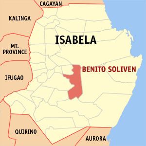
Map of Benito Soliven, Isabela, Philippines
The town is named after the Benito Soliven, Congressman of Santo Domingo, Ilocos Sur, during the Commonwealth government.
Barangays
Benito Soliven is politically subdivided into 29 barangays.
References
Benito Soliven, Isabela Wikipedia(Text) CC BY-SA