
County Doniphan FIPS code 20-05975 Elevation 339 m Zip code 66008 Local time Thursday 3:34 PM | Time zone CST (UTC-6) GNIS feature ID 473280 Area 3.96 km² Population 117 (2010) | |
 | ||
Weather 9°C, Wind NW at 32 km/h, 31% Humidity | ||
Bendena is an unincorporated community and census-designated place (CDP) in Doniphan County, Kansas, United States. As of the 2010 census, Bendena had a population of 117. Its ZIP Code is 66008.
Contents
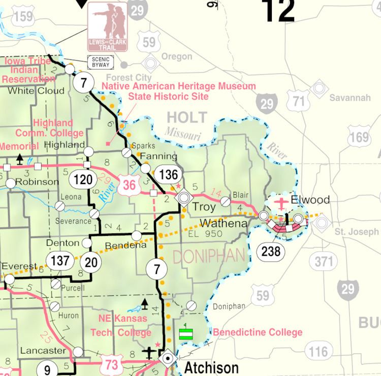
Map of Bendena, KS 66008, USA
History
Bendena was founded in 1886. It was originally given the name of "Albers," after John Albers, who farmed on this land. But when the United States Postal Service established a post office there, they required a change of name because of similarities to other town names in Kansas. It was then named for the sweetheart of the first telegraph operator at the Chicago, Kansas and Nebraska railroad station.
The first post office in Bendena was established in January, 1888.
Geography
Bendena is located southwest of the center of Doniphan County, along highway K-20. It is 7 miles (11 km) southwest of Troy, the county seat, and 15 miles (24 km) north of Atchison.
According to the U.S. Census Bureau, the Bendena CDP has an area of 1.53 square miles (3.96 km2), all of it land.
Demographics
The community is part of the St. Joseph, MO–KS Metropolitan Statistical Area.