
Population 70 (2008 estimate) Local time Thursday 8:51 PM District Waveney | Sovereign state United Kingdom Postcode district NR34 Dialling code 01502 | |
 | ||
Weather 5°C, Wind SW at 16 km/h, 66% Humidity | ||
Benacre is a village and civil parish in the Waveney district of the English county of Suffolk. The village is located about 5 3⁄4 miles (9 km) south of Lowestoft and 1 1⁄2 miles (2 km) north-east of Wrentham, between the main A12 road and the North Sea coast. Neighbouring villages include Kessingland and Covehithe with the town of Southwold 5 miles (8 km) to the south.
Map of Benacre, Beccles, UK
The village is dispersed around Benacre Hall, the estate of the Gooch family. It had a population of around 70 in mid-2008. The population declined dramatically during the 20th century from 216 at the 1901 census. The area of the parish extends from the Hundred River in the north to Benacre Broad in the south.
At the Domesday survey the village's name is given as Benagra within the Hundred of Blythling. It formed part of the holdings of the Abbey of Bury St Edmunds, as it had before the conquest, with one freeman recorded as living in the manor.
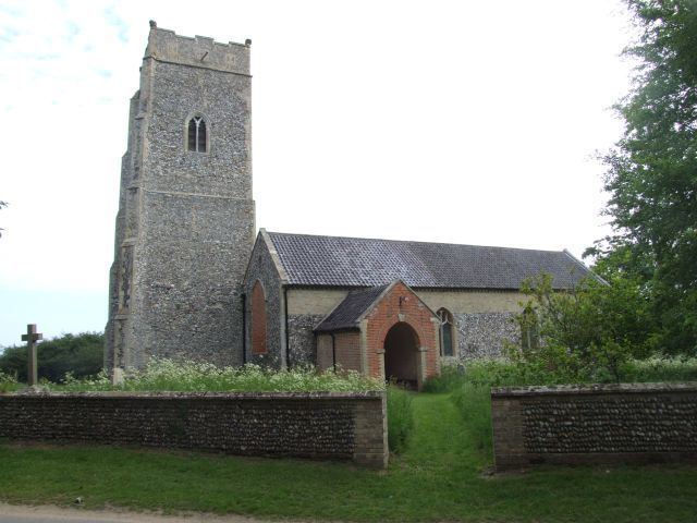
The village has few basic services. The former parish church of St Michael is now privately owned by the Gooch family. It is medieval in origin and a Grade II* listed building, although extensively rebuilt following a fire in the 18th century. The church of St Andrew in Covehithe now acts as the parish church for Benacre.
Benacre Broad forms part of the Benacre National Nature Reserve, an important reserve for over 100 bird species including marsh harrier, little tern and bittern. The shingle beach also forms an important habitats and the coastal area of the parish is part of the Pakefield to Easton Barents Site of Special Scientific Interest.