
- right Androranga River Length 140 km | - elevation 2,100 m (6,890 ft) Basin area 5,400 km² | |
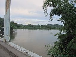 | ||
The Bemarivo River (/be.mari.v/), literally the big shallow, is located in northern Madagascar. It drains to the north-eastern coast, into the Indian Ocean. It drains the eastern part of the Tsaratanana Massif and the northern half of the Marojejy Massif.
Map of Bemarivo, Madagascar
It is crossed by the RN 5a near Nosiarina. Its mouth is situated in the north of Sambava.
It serves as the northern edge of the territory known as Betsimisaraka. Confusingly, a tributary of the Sofia River is also called the Bemarivo River.
References
Bemarivo River Wikipedia(Text) CC BY-SA