
Area 10.39 km² | Elevation 775 m Municipality Carrazeda de Ansiães | |
 | ||
Belver is a former civil parish in the municipality of Carrazeda de Ansiães, Portugal. In 2013, the parish merged into the new parish Belver e Mogo de Malta. It is situated two kilometres northeast from the municipal seat.
Contents
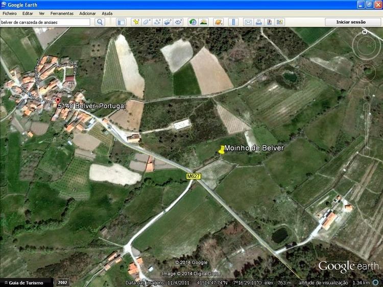
Map of Belver, Portugal
History
There are few ancient references to the parishes history, but those uncovered suggest that the area was settled in the 12th century.
The term Belver is a contraction of Bel(lo) Ver, which means beautiful sight, and may likely refer to the region's panoramic vistas. The settlement of Mogo de Ansiães, along an extensive plateau, near the parish seat is a mark of demarcation (mogo means mark) that delimited the parish seat. The historical limits of Carrazeda de Ansiães (and the neighbouring municipality of Freixiel) precisely divided along the space between Mogo de Ansiãse and Mogo de Malta. It is likely that a mark (a mogo) divided the two places, thusby deriving their names.
The church was constructed in the 16th century, and by 1706 (from the writings of Father Carvalho da Costa), it was under the authority of the Rector of Ansiães. The settlement, which included 50 neighbours, was under the protection of the Comenda do Salvador.
Between 1864-65, Belver had 137 homes and 475 inhabitants.
On 15 July 1903, the first primary school for boys was established in Belver.
It was in 1950 that the population reached its historical maximum: 549 inhabitants.
Geography
Between 1960-70 there was marked decrease in the population, a natural affect of emigration (typical of other Transmontanan communities during this period). After 1970, with the advent of better communication links, these numbers reversed themselves, as more of the population remained in the region. This created population in-filling between Belver and Mogo de Ansiães, integrating this small settlement within Belver. This was helped by improved transit from Vilarinho da Castanheira, Lousa, Castedo and much of its frontier with Moncorvo, around the Penafria-Fontelonga roadway.
Economy
The principal economic activity in this region is agriculture, supported by the harvesting of chestnuts, walnuts, grapes, cereal crops, potatoes and some fields that sustain apple orchards, while the raising of sheep is common in the pasturelands. Industry and commerce, although growing, is relatively low, supporting traditional pottery, saw-milling and carpentry. Other functions in the villages include mechanical garages, cafés and a gas station.
Interest in tourist-based economic activities has also helped the remodelling and reconstruction of many of the local buildings, as has the influx of funds after the Carnation Revolution, which helped to modernize many of the local services. These have included the remodelling of the churches, a new cemetery, Casa do Povo, children's playground and primary school, and the construction of the Centro de Dia de Nossa Senhora da Saúde (seniors day centre).