
Country United States GNIS feature ID 1535619 Population 95 (2010) | Time zone Eastern (EST) (UTC-5) Area 42 ha Local time Thursday 1:42 PM | |
 | ||
Weather 8°C, Wind W at 23 km/h, 44% Humidity | ||
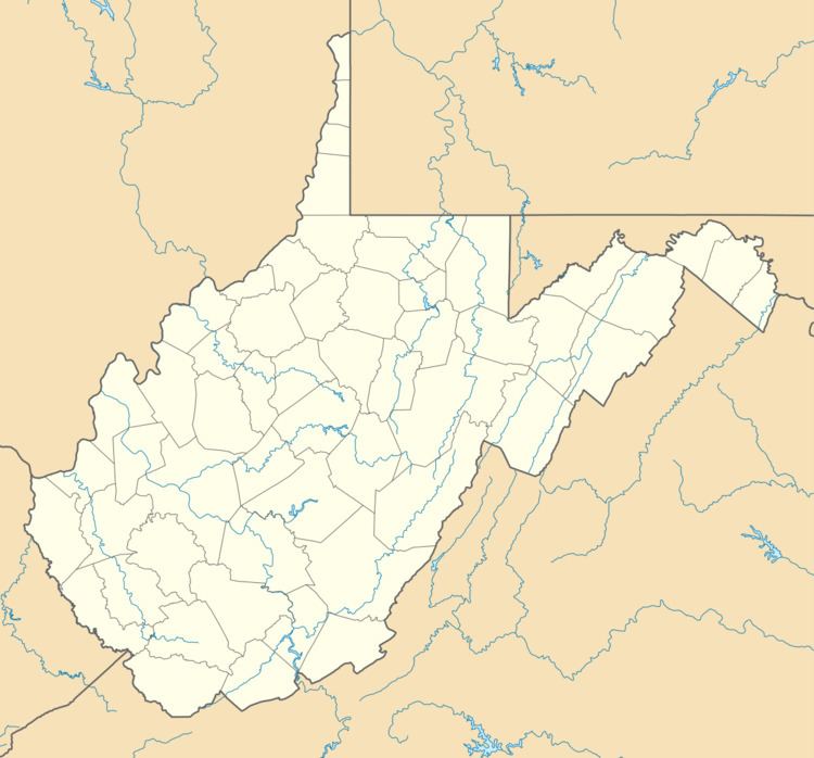
Belva is an unincorporated community and census-designated place in west Nicholas County and north Fayette County, West Virginia, United States; while the CDP only includes the Nicholas County portion, the Fayette County portion is considered part of the community. The town is situated at the bottomland surrounding the convergence of Bells Creek with Twentymile Creek and, subsequently, Twenty Mile Creek with the Gauley River. Belva is also the location of the convergence of two state highways: West Virginia Route 16 and West Virginia Route 39.
Contents
Map of Belva, WV 26656, USA
History
The community is named in honor of Belva Ann Lockwood, a presidential candidate and early feminist.
Belva post office was established in 1885.
Climate
The climate in this area is characterized by hot, humid summers and generally mild to cool winters. According to the Köppen Climate Classification system, Belva has a humid subtropical climate, abbreviated "Cfa" on climate maps.