
Quadrant NW Sector West Elevation 684 m | Ward 1 Area 128 ha Population 4,603 (2012) | |
 | ||
Restaurants Leng's Chinese Food, Sam's Pizza & Donair, Donair Joint, Pizza Express | ||
Belmead is a residential neighbourhood in west Edmonton, Alberta, Canada. Residents in Belmead live just to the west of West Edmonton Mall, the largest shopping centre in Canada. A portion of the neighbourhood, from 188 Street to 190 Street, is called Park West.
Contents
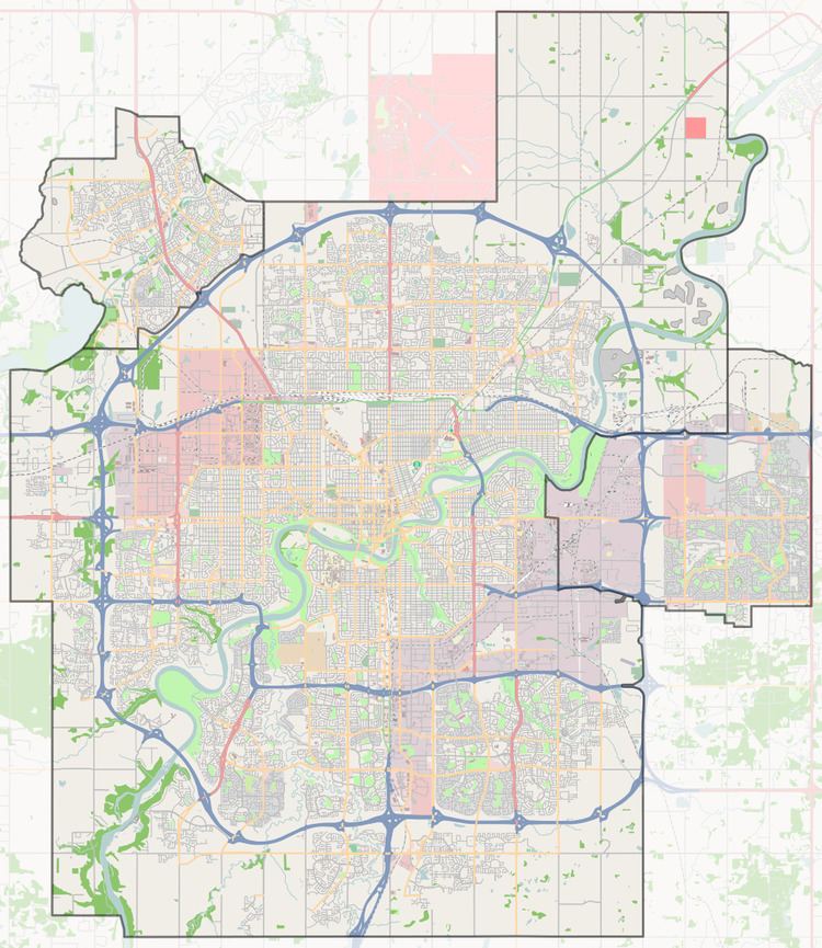
Map of Belmead, Edmonton, AB, Canada
While residential development of the neighbourhood began in the 1960s, when 6.3% of all residences were constructed, according to the 2001 federal census, most residential development took place during the 1970s. It was during the 1970s that six out of ten (59.6%) residences were constructed. Another one in five (19.2%) were built during the 1980s and one in eight (12.6%) were built during the 1990s.
The most common type of residence in the neighbourhood, according to the 2005 municipal census, is the single-family dwelling. These account for half (50%) of all the residences in the neighbourhood. Row houses account for another one in three (36%) of all residences. One in ten (9%) of all residences are rented apartments in low-rise buildings with fewer than five stories. One in twenty (5%) are duplexes. Approximately seven out of ten (72%) of residences are owner-occupied while one in three (28%) are rented.
The population of Belmead is somewhat mobile. According to the 2005 municipal census, one in ten residents (10.9%) had moved within the previous twelve months. Another one in five residents (18.0%) had moved within the previous one to three years. Just over half (55.2%) had lived at the same address for five years or longer.
According to the 2009 municipal census, just over half of the residents are female (50.3%) and just over half of the residents are under the age of 40 (50.9%).
There are two schools in the neighbourhood. Belmead Elementary School is operated by the Edmonton Public School System. St Benedict Catholic Elementary School is operated by the Edmonton Catholic School System.
The neighbourhood is bounded on the west by Anthony Henday Drive, on the east by 178 Street, on the north by 95 Avenue, and on the south by 87 Avenue. The Anthony Henday provides access to destinations to the south of the city including the Edmonton International Airport.
Belmead Community League, a non-profit volunteer organization created in 1984, strives to enrich the lives of community members from the Belmead neighbourhood with a variety of sport, recreational and social programs.
Demographics
In the City of Edmonton's 2012 municipal census, Belmead had a population of 7003460300000000000♠4,603 living in 7003170200000000000♠1,702 dwellings, a 2.6% change from its 2009 population of 7003448800000000000♠4,488. With a land area of 1.28 km2 (0.49 sq mi), it had a population density of 7003359610000000000♠3,596.1 people/km2 in 2012.