
Country United States County Republic Area code(s) 785 Elevation 471 m Population 1,924 (2013) | Time zone Central (CST) (UTC-6) FIPS code 20-05600 Zip code 66935 Local time Thursday 8:42 AM | |
 | ||
Weather 0°C, Wind W at 21 km/h, 65% Humidity | ||
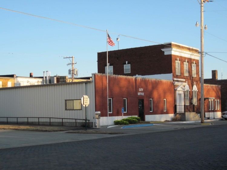
Belleville is a city in and the county seat of Republic County, Kansas, United States. As of the 2010 census, the city population was 1,991.
Contents
- Map of Belleville KS 66935 USA
- History
- Geography
- 2010 census
- 2000 census
- Area attractions
- Notable people
- References
Map of Belleville, KS 66935, USA
History
Belleville was founded in 1869, and incorporated as a city in 1878. It was named for Arabelle Tutton, the wife of a member of the town company.
The first post office in Belleville was established in February 1870.
Geography
Belleville is located at 39°49′25″N 97°37′49″W (39.823548, -97.630183). According to the United States Census Bureau, the city has a total area of 2.02 square miles (5.23 km2), of which 1.98 square miles (5.13 km2) is land and 0.04 square miles (0.10 km2) is water.
2010 census
As of the census of 2010, there were 1,991 people, 949 households, and 533 families residing in the city. The population density was 1,005.6 inhabitants per square mile (388.3/km2). There were 1,162 housing units at an average density of 586.9 per square mile (226.6/km2). The racial makeup of the city was 97.5% White, 0.3% African American, 0.2% Native American, 0.6% Asian, 0.5% from other races, and 1.0% from two or more races. Hispanic or Latino of any race were 1.4% of the population.
There were 949 households of which 19.8% had children under the age of 18 living with them, 47.3% were married couples living together, 6.7% had a female householder with no husband present, 2.1% had a male householder with no wife present, and 43.8% were non-families. 41.3% of all households were made up of individuals and 24.5% had someone living alone who was 65 years of age or older. The average household size was 1.99 and the average family size was 2.67.
The median age in the city was 51.6 years. 18.1% of residents were under the age of 18; 4.5% were between the ages of 18 and 24; 18% were from 25 to 44; 26.5% were from 45 to 64; and 32.9% were 65 years of age or older. The gender makeup of the city was 46.3% male and 53.7% female.
2000 census
As of the census of 2000, there were 2,239 people, 1,045 households, and 606 families residing in the city. The population density was 1,153.0 people per square mile (445.6/km²). There were 1,259 housing units at an average density of 648.4 per square mile (250.6/km²). The racial makeup of the city was 98.35% White, 0.27% African American, 0.18% Native American, 0.31% Asian, 0.31% from other races, and 0.58% from two or more races. Hispanic or Latino of any race were 0.80% of the population.
There were 1,045 households out of which 20.4% had children under the age of 18 living with them, 49.0% were married couples living together, 7.2% had a female householder with no husband present, and 42.0% were non-families. 39.8% of all households were made up of individuals and 23.3% had someone living alone who was 65 years of age or older. The average household size was 2.01 and the average family size was 2.67.
In the city, the population was spread out with 17.6% under the age of 18, 5.4% from 18 to 24, 20.0% from 25 to 44, 22.9% from 45 to 64, and 34.1% who were 65 years of age or older. The median age was 51 years. For every 100 females there were 79.1 males. For every 100 females age 18 and over, there were 78.2 males.
The median income for a household in the city was $26,692, and the median income for a family was $36,515. Males had a median income of $24,743 versus $16,964 for females. The per capita income for the city was $18,989. About 5.4% of families and 8.7% of the population were below the poverty line, including 16.9% of those under age 18 and 7.6% of those age 65 or over.