
Country United States ZIP code 86015 Elevation 2,174 m | Time zone Mountain (MST) (UTC-7) Area code(s) 928 Local time Thursday 7:21 AM | |
 | ||
Weather -5°C, Wind E at 14 km/h, 46% Humidity | ||
Roadhouse bar grill bellemont arizona on route 66 full 1080p hd 3 31 14
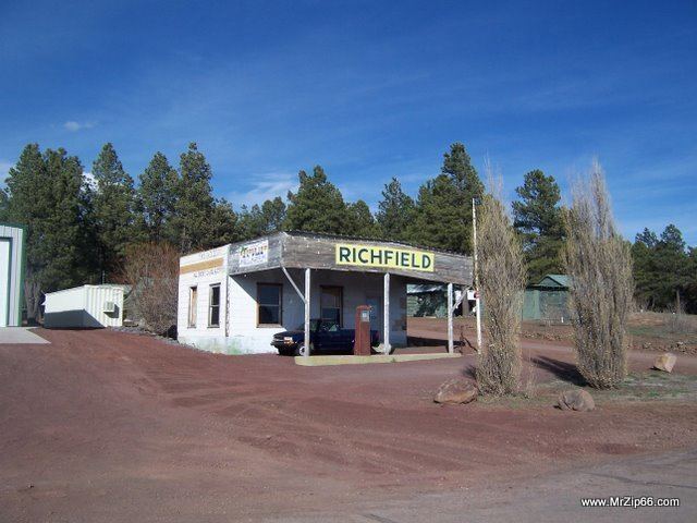
Bellemont is an unincorporated community in Coconino County, Arizona, United States. Bellemont is located along Interstate 40 11 miles (18 km) west-northwest of Flagstaff. Bellemont at an elevation of 7,132 feet above sea level claims to be the highest settlement along the historic Route 66. Bellemont was a known water stop on historic Route 66, due to local springs. As of June 2012 Bellemont has an estimated population of 893.
Contents
- Roadhouse bar grill bellemont arizona on route 66 full 1080p hd 3 31 14
- Map of Bellemont AZ 86015 USA
- Climate
- References
Map of Bellemont, AZ 86015, USA
In October 2010 Bellement was struck by a tornado. The tornado damaged 15 homes in the community, to the point "that they were uninhabitable", resulting in evacuation of about 30 people. A train and 30 recreational vehicles were damaged, but "No serious injuries or deaths were reported."
Bellemont is the location for the Flagstaff field office for the National Weather Service.
Climate
This region experiences warm (but not hot) and dry summers, with no average monthly temperatures above 71.6°F. According to the Köppen Climate Classification system, Bellemont has a Continental climate, abbreviated "Dsb" on climate maps.