
 | ||
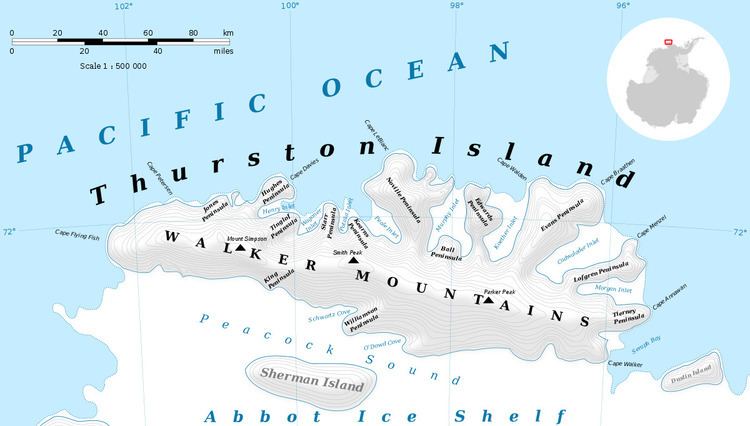
Belknap Nunatak (72°30′S 97°36′W) is a nunatak about 6 nautical miles (11 km) west-northwest of Shelton Head, surmounting an ice-covered spur on the south coast of Thurston Island. It was mapped by the United States Geological Survey from surveys and from U.S. Navy air photos, 1960–66, and named by the Advisory Committee on Antarctic Names for William Belknap, a field assistant at Byrd Station, 1964–65.
Maps
References
Belknap Nunatak Wikipedia(Text) CC BY-SA