 | ||
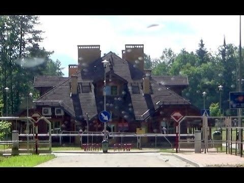
Belarusian-Polish border is the state border between Poland and the Republic of Belarus. It has a total length of 398.6 km (247.7 mi), 418 km (260 mi) or 416 km (258 mi) (sources vary). It starts from the triple junction of the borders with Lithuania in the north and stretches to the triple junction borders with Ukraine to the south. Is also part of the EU border with Belarus.
History
After Soviet Invasion of Poland in September 1939, the area of West Belarus was annexed into the Belarusian Soviet Socialist Republic. Five new Voblasts were created: Baranavichy, Belostok, Brest, Pinsk and Vialejka. In accordance with the Border Agreement between Poland and the USSR of 16 August 1945 17 districts of Belastok Voblast of the BSSR including the city of Białystok and 3 districts of Brest Voblast, where a significant amount of Poles lived, were transferred to Poland.
In 1946, during the refinement of the state border between the USSR and Poland, the villages of Klimówka, Minkowce, Nomiki, Taki, Tołcze, Szymaki of the Hrodna District and the villages of Todorkowce and Chworosciany of the Sapotskin district were transferred to the Polish People's Republic. Thereafter, and until now the border between Poland and Belarus has never changed.
Border rivers (from north to south) are Czarna Hańcza, Wolkuszanka, Swislocz, Narew and Western Bug.
