Area 910.5 km² Population 76,300 (2011) | Local time Thursday 9:45 AM | |
 | ||
Country People's Republic of China Weather -12°C, Wind SE at 8 km/h, 89% Humidity | ||
Beitun (Chinese: 北屯; pinyin: Běitún) is a city in the north of Xinjiang, People's Republic of China (PRC). Administratively, it is a county-level city under the direct administration of the regional government, though it is geographically located in Altay Prefecture.
Contents
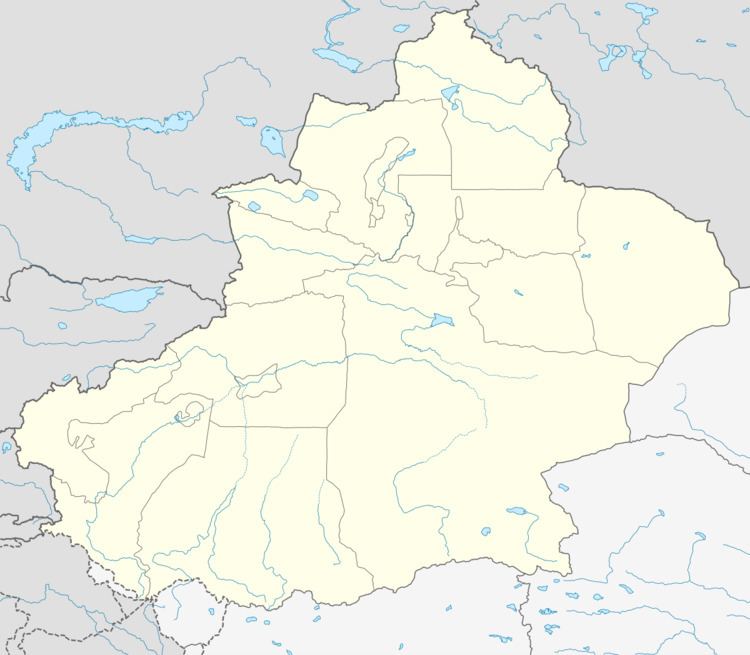
Map of Beitun, Xinjiang, China
Overview
Beitun City was established on 28 December 2011, becoming the youngest city of the PRC at the time. It was established out of portions of Altay City.
Beitun City covers an area of 910.5 square kilometres (351.5 sq mi) and has a population of 76,300. The city is located on the Irtysh River. Its name comes from the accolade "China's northernmost cultivation land" (Chinese: 中国最北的屯垦重地; pinyin: Zhōngguó zuìběi de túnkěn zhòngdì).
Transportation
As a terminus of the Kuytun–Beitun Railway, Beitun is an important transportation hub between Mongolia, northern Xinjiang, and Kazakhstan. Beitun Station, located a few kilometers southwest of the city center (47°19′20″N 87°45′30″E), has direct passenger railway service from Urumqi.
An extension of this railway toward Altay City is under construction; it is expected to open in 2016.
