
Population 1,721 (2013) | Area 12.84 km² Local time Wednesday 9:50 PM | |
 | ||
Weather 6°C, Wind SE at 8 km/h, 93% Humidity | ||
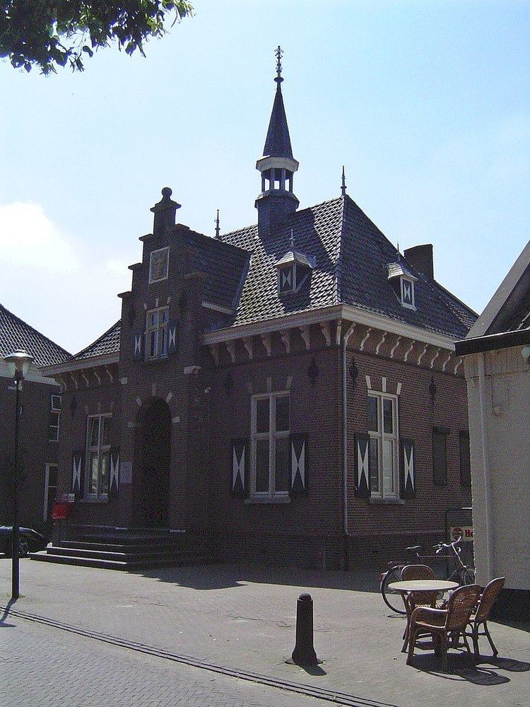
Beers (Brabants: Bèèrs) is a village in the Dutch municipality of Cuijk. It is located about 4 km west of Cuijk. Beers has a population of about 1721: 1305 in the village itself, and 416 in the surrounding countryside, including the hamlets De Plaats and Dommelsvoort.
Contents
Map of Beers, Netherlands
Until 1994, Beers was a separate municipality.
Toponymy
The name Beers might come from bere or baren, which can mean mud or stuff in Dutch.
History
Beers is first noted in a document that was written between 1050 and 1200. In it beers was named Berse. The family Van Beerse was a vassal from the Lord of Cuijk, making Beers belong to the municipality of Cuijk. This vassal however, did own a small castle surrounded by a moat, named De Broekhof.
Around 1814, at the end of the French age and at the beginning of the Kingdom of the Netherlands, Beers became a separate municipality. In 1942, Great-Linden and Gassel joined Beers. In 1994 the municipality of Beers was repealed. Gassel joined the municipality of Grave, North Brabant, while Beers and Great-Linden (today Linden, North Brabant) joined Cuijk. This remained to the present day.