Population 100 Sovereign state United Kingdom Local time Wednesday 8:14 PM | OS grid reference ST600118 | |
 | ||
Weather 7°C, Wind W at 32 km/h, 78% Humidity | ||
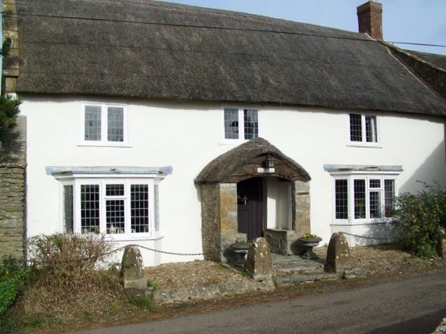
Beer Hackett is a small village and civil parish in west Dorset, England, situated 3 miles (4.8 km) southwest of Sherborne and 5 miles (8.0 km) southeast of Yeovil. The civil parish includes the small settlement of Knighton to the east. Dorset County Council's 2013 mid-year estimate of the population of the civil parish is 100.
Map of Beer Hackett, Sherborne, UK
Beer Hackett was not recorded in the Domesday Book of 1086. The nave and west tower of the parish church were originally built in the early 15th century, though the whole building was radically restored in the 19th century.
References
Beer Hackett Wikipedia(Text) CC BY-SA
