Population 154 (2006 census) Local time Thursday 6:21 AM | Postcode(s) 7252 Postal code 7252 | |
 | ||
Location 13.6 km (8 mi) from Georgetown37.0 km (23 mi) from Bridport49.7 km (31 mi) from Scottsdale48.0 km (30 mi) from Launceston Weather 19°C, Wind E at 8 km/h, 93% Humidity | ||
Beechford is a small beach side town on the northern coast of Tasmania. It is just 13.6 kilometres (8.5 mi) away from Georgetown and 48.0 kilometres (29.8 mi) north of Launceston and Beechford is also the place where the Curries River joins up with the Tasman Sea in Bass Strait.
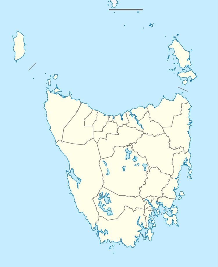
Map of Beechford TAS 7252, Australia
The turnoff to Beechford is found on the Georgetown to Bridport Road through Lefroy, however it is a place that is yet to be "discovered" by tourism. Alternately, visitors may turn east from the East Tamar Highway, just before Hillwood, onto Bullocks Head Road which leads directly to the Bridport Highway, which then intersects the Beechford turnoff. Before entering Beechford, you must pass through the small town of Lefroy, which was once a mining town.
Beechford lies just south of the military training area of Stony Head.
Once a populated town with its own small shop (closing sometime during the mid 1980s) when there were many more permanent residences, Beechford now has no store with the closest being in the regional centre of George Town.
Beach access is via a small sand track near the now-defunct football oval. Tides must be observed as the Curries River can become high, making driving on to the beach difficult. There are kilometers of coastal tracks for 4-wheel drive vehicles.
Other amenities include public toilets, a small children's playground and a free camping area.
