
Vehicle registration GJ Elevation 7 m Population 18,771 (2001) | Time zone IST (UTC+5:30) Website gujaratindia.com Local time Wednesday 9:15 PM | |
 | ||
Weather 27°C, Wind W at 11 km/h, 49% Humidity | ||
Bedi is a census town and port in Jamnagar Taluka of Jamnagar district, Gujarat, India.
Contents
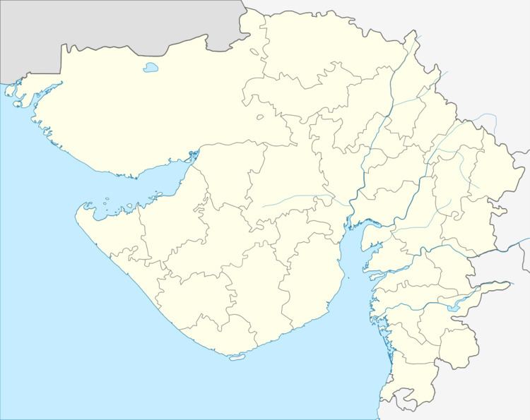
Map of Bedi, Bedeswer, Jamnagar, Gujarat
History
It was a major port of Nawanagar State during the British period.
Geography
Bedi is located at 22.5°N 70.05°E / 22.5; 70.05. It has an average elevation of 7 metres (22 feet).
Demographics
As of 2001 India census, Bedi had a population of 18,771. Males constitute 51% of the population and females 49%. Bedi has an average literacy rate of 33%, lower than the national average of 59.5%; with 73% of the males and 27% of females literate. 18% of the population is under 6 years of age.
References
Bedi, Gujarat Wikipedia(Text) CC BY-SA