
Country United States FIPS code 26-06720 Elevation 264 m Population 9,357 (2010) Local time Wednesday 10:14 AM | Time zone Eastern (EST) (UTC-5) GNIS feature ID 1625905 Zip code 49020 Area code Area code 269 | |
 | ||
Weather 11°C, Wind SW at 23 km/h, 97% Humidity Area 76.92 km² (75.37 km² Land / 155 ha Water) | ||
Bedford Charter Township is a charter township located in the northwest corner of Calhoun County in the U.S. state of Michigan. It is part of the Battle Creek, Michigan Metropolitan Statistical Area. As of the 2010 census, the township population was 9,357. Most of the township lies north of the Kalamazoo River and the city of Battle Creek. Three small noncontiguous areas of the township lie south of the Kalamazoo River.
Contents
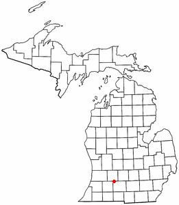
Map of Bedford Charter Township, MI, USA
History
Bedford Township was first organized in 1839. As of 1910 it had a population of 2,076.
Communities
Geography
According to the United States Census Bureau, the township has a total area of 29.7 square miles (76.9 km2), of which 29.1 square miles (75.4 km2) is land and 0.62 square miles (1.6 km2), or 2.03%, is water.
Demographics
As of the census of 2000, there were 9,517 people, 3,667 households, and 2,651 families residing in the township. The population density was 324.0 per square mile (125.1/km²). There were 3,841 housing units at an average density of 130.8 per square mile (50.5/km²). The racial makeup of the township was 84.05% White, 12.09% African American, 0.34% Native American, 0.43% Asian, 0.06% Pacific Islander, 0.85% from other races, and 2.18% from two or more races. Hispanic or Latino of any race were 1.49% of the population.
There were 3,667 households out of which 30.1% had children under the age of 18 living with them, 55.9% were married couples living together, 12.4% had a female householder with no husband present, and 27.7% were non-families. 22.5% of all households were made up of individuals and 8.9% had someone living alone who was 65 years of age or older. The average household size was 2.52 and the average family size was 2.94.
In the township the population was spread out with 24.1% under the age of 18, 7.0% from 18 to 24, 26.9% from 25 to 44, 27.4% from 45 to 64, and 14.5% who were 65 years of age or older. The median age was 40 years. For every 100 females there were 101.8 males. For every 100 females age 18 and over, there were 98.7 males.
The median income for a household in the township was $44,462, and the median income for a family was $51,230. Males had a median income of $37,331 versus $26,435 for females. The per capita income for the township was $20,303. About 4.3% of families and 5.8% of the population were below the poverty line, including 4.5% of those under age 18 and 6.2% of those age 65 or over.