
OS grid reference SD873803 Sovereign state United Kingdom Postcode district BD23 District Craven | Post town SKIPTON | |
 | ||
Region | ||
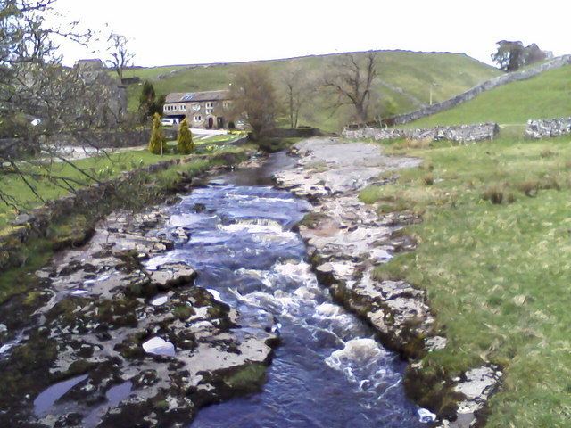
Beckermonds is a small hamlet in the Craven district of North Yorkshire, England. The hamlet lies at the western end of Langstrothdale, at the confluence of Green Field Beck and Oughtershaw Beck, which join to form the start of the River Wharfe.
Map of Beckermonds, Skipton, UK
The toponym, first recorded in 1241 as Beckermotes, is from the Old Norse bekkjar mót, meaning "the meeting of the streams". The intrusive n was added later under the influence of Old French mont, "hill".
References
Beckermonds Wikipedia(Text) CC BY-SA