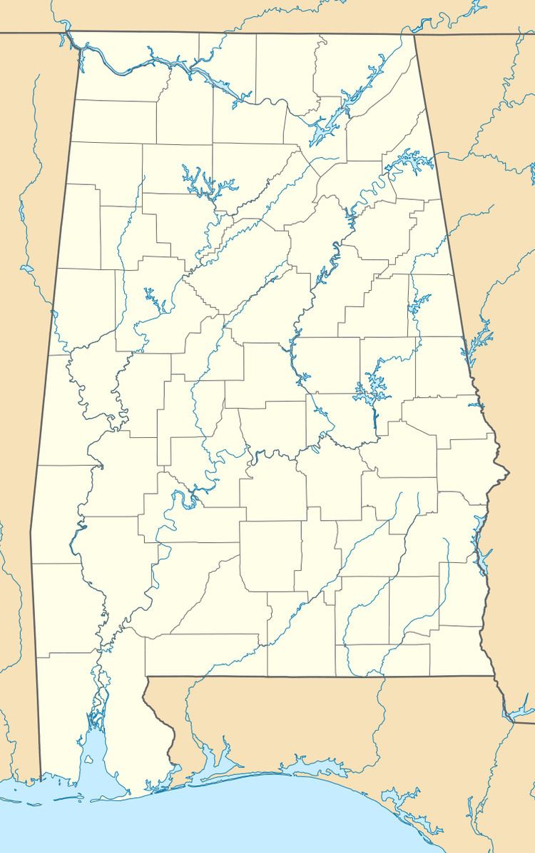
Country United States GNIS feature ID 138110 Local time Tuesday 11:29 PM | Time zone CST (UTC-6) Elevation 192 m | |
 | ||
Weather 17°C, Wind S at 13 km/h, 97% Humidity | ||
Beauregard is an unincorporated community located in central Lee County, Alabama, United States, east of Auburn and south of Opelika. It is part of the Auburn Metropolitan Area. While Beauregard has been traditionally considered to be a small area near the crossroads of Alabama State Route 51 and Lee County Road 400, today most residents within a roughly 25 square mile (65 km2) area surrounding the original community consider themselves to be in "Beauregard".
Contents
Map of Beauregard, AL 36804, USA
History
Beauregard was settled in the late 19th Century and was named for Confederate general P.G.T. Beauregard. There are also some unidentified ruins along Road 166 that sit behind the limestone quarry.
Schools in Beauregard
The mascot of all three schools is the Hornet.
References
Beauregard, Alabama Wikipedia(Text) CC BY-SA
