
Country United States Area code(s) Area code 601 Elevation 50 m | Time zone Central (CST) (UTC-6) GNIS feature ID 692497 Local time Tuesday 10:06 PM | |
 | ||
Weather 22°C, Wind S at 13 km/h, 92% Humidity | ||
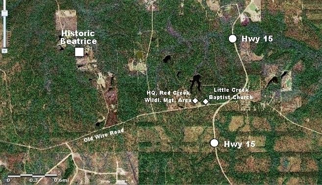
Beatrice is an unincorporated community in Stone County, Mississippi, and is located approximately 23 mi (37 km) southeast of Wiggins. Beatrice is part of the Gulfport-Biloxi metropolitan area. The main period of significance was between 1894 and 1915.
Contents
Map of Beatrice, Mississippi 39573, USA
Surrounded by the De Soto National Forest, Beatrice has long been a timber and sawmill community. In the wake of Hurricane Katrina, the Beatrice Sawmill served as a distribution center for portable sawmills that were needed to convert storm-ravaged trees into lumber.
Little Creek Baptist Church and headquarters for Red Creek Wildlife Management Area are located in the Beatrice community.
Education
Transportation
References
Beatrice, Mississippi Wikipedia(Text) CC BY-SA