
Country United States Time zone CST (UTC-6) Elevation 160 m Local time Tuesday 7:54 PM | Established 1859 ZIP codes 62262, 62471 Area 96.89 km² Population 599 (2010) | |
 | ||
Weather 18°C, Wind S at 23 km/h, 90% Humidity | ||
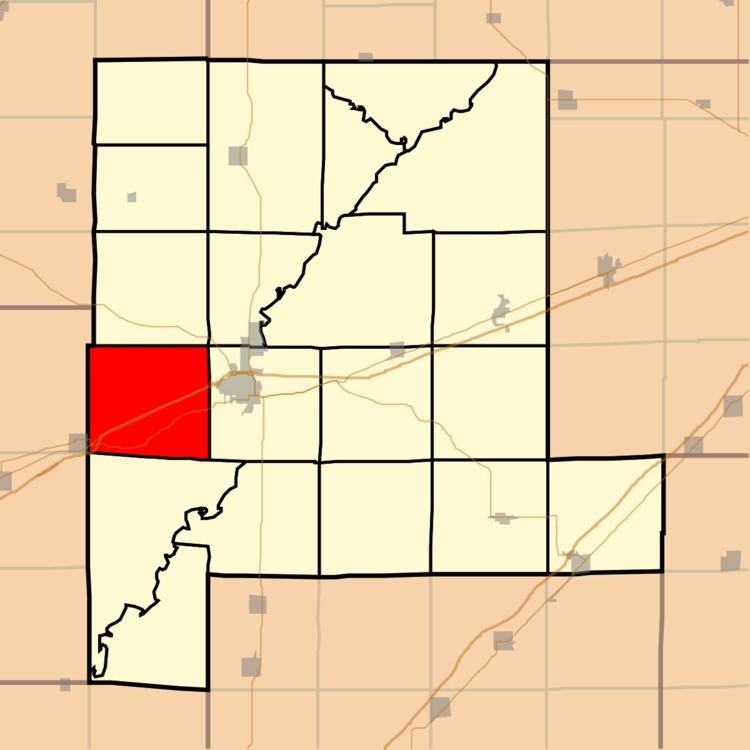
Bear Grove Township is one of twenty townships in Fayette County, Illinois, USA. As of the 2010 census, its population was 599 and it contained 259 housing units. The township was originally known as Johnson Township.
Contents
- Map of Bear Grove Township IL USA
- Geography
- Unincorporated towns
- Extinct towns
- Cemeteries
- Major highways
- Airports and landing strips
- Lakes
- School districts
- Political districts
- References
Map of Bear Grove Township, IL, USA
Geography
According to the 2010 census, the township has a total area of 37.41 square miles (96.9 km2), of which 37.35 square miles (96.7 km2) (or 99.84%) is land and 0.06 square miles (0.16 km2) (or 0.16%) is water.
Unincorporated towns
Extinct towns
Cemeteries
The township contains these five cemeteries: Bethlehem, Eakle, Evans, McInturff and Wright and Neathery.
Major highways
Airports and landing strips
Lakes
School districts
Political districts
References
Bear Grove Township, Fayette County, Illinois Wikipedia(Text) CC BY-SA