
Time zone CST (UTC-6) Area 94.07 km² Population 345 (2010) | Established November 6, 1849 Elevation 195 m Local time Tuesday 7:50 PM | |
 | ||
ZIP codes 62313, 62321, 62341, 62379, 62380 Weather 18°C, Wind S at 16 km/h, 63% Humidity | ||
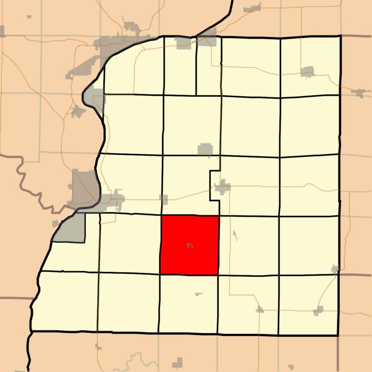
Bear Creek Township is one of twenty-five townships in Hancock County, Illinois, USA. As of the 2010 census, its population was 345 and it contained 165 housing units.
Contents
- Map of Bear Creek Township IL USA
- Vinyard History
- Geography
- Cities towns villages
- Cemeteries
- School districts
- Political districts
- References
Map of Bear Creek Township, IL, USA
Vinyard History
In the 1860s and 1870s, the grapes grown in Bear Creek at the vineyard of Gabriel Morlot were well known in the state. They won first place at the 17th Annual Illinois State Fair in 1869 in the categories of "Best Two Bottles of Catawba, Product of this State", "Best Two Bottles of Clinton, Product of this State", and "Best Two Bottles of Concord, Product of this State", earning three Silver Medals.
Geography
According to the 2010 census, the township has a total area of 36.32 square miles (94.1 km2), of which 36.26 square miles (93.9 km2) (or 99.83%) is land and 0.06 square miles (0.16 km2) (or 0.17%) is water.
Cities, towns, villages
Cemeteries
The township contains these four cemeteries: Bethel, Graham, South Basco and West Basco.
Cozart Cemetery is located south of Elvastan in the middle of a field now farmed by the Geissler Brothers. This cemetery is timed in the 19th century and is also the resting place for Alexander K. Patterson, one of four war veterans buried in Handcock