
Time zone CST (UTC-6) Elevation 184 m Local time Tuesday 7:50 PM | Established November 7, 1865 ZIP codes 62546, 62556, 62568 Area 92.8 km² Population 499 (2010) | |
 | ||
Weather 18°C, Wind S at 31 km/h, 90% Humidity | ||
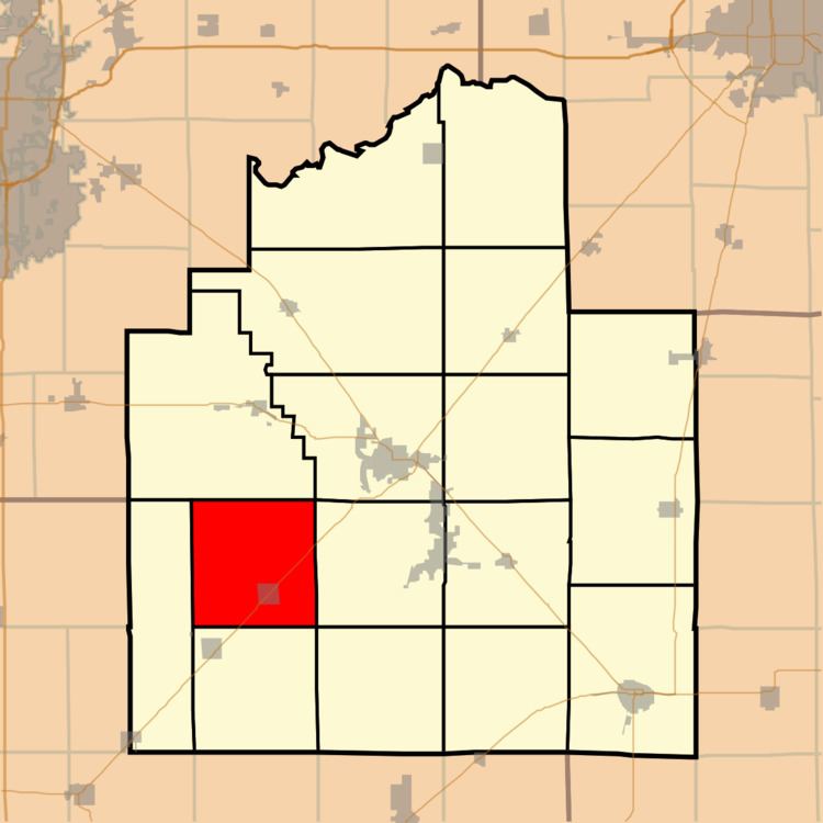
Bear Creek Township is one of seventeen townships in Christian County, Illinois, USA. As of the 2010 census, its population was 499 and it contained 226 housing units.
Contents
- Map of Bear Creek Township IL USA
- Geography
- Cities towns villages
- Unincorporated towns
- Cemeteries
- Major highways
- School districts
- Political districts
- References
Map of Bear Creek Township, IL, USA
Geography
According to the 2010 census, the township has a total area of 35.83 square miles (92.8 km2), of which 35.82 square miles (92.8 km2) (or 99.97%) is land and 0.01 square miles (0.026 km2) (or 0.03%) is water.
Cities, towns, villages
Unincorporated towns
Cemeteries
The township contains these three cemeteries: Anderson, Durbin and Palmer.
Major highways
School districts
Political districts
References
Bear Creek Township, Christian County, Illinois Wikipedia(Text) CC BY-SA