
Country United States Elevation 228 m Local time Tuesday 8:24 PM | GNIS feature ID 0453100 Area 94.15 km² Population 2,916 (2010) | |
 | ||
ZIP codes 47404, 47429, 47433, 47464 Weather 17°C, Wind S at 19 km/h, 91% Humidity | ||
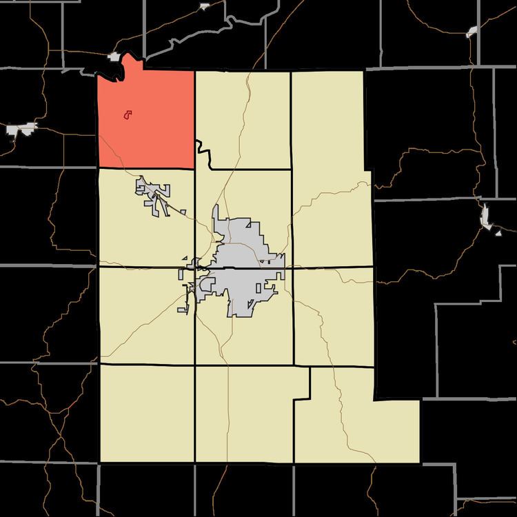
Bean Blossom Township is one of eleven townships in Monroe County, Indiana, United States. As of the 2010 census, its population was 2,916 and it contained 1,184 housing units.
Contents
- Map of Bean Blossom Township IN USA
- History
- Geography
- Cities towns villages
- Unincorporated towns
- Cemeteries
- Major highways
- School districts
- Political districts
- References
Map of Bean Blossom Township, IN, USA
History
Secrest Ferry Bridge was listed on the National Register of Historic Places in 1996.
Geography
According to the 2010 census, the township has a total area of 36.35 square miles (94.1 km2), of which 36.34 square miles (94.1 km2) (or 99.97%) is land and 0.01 square miles (0.026 km2) (or 0.03%) is water. The White River defines the northwest boundary of the township.
Cities, towns, villages
Unincorporated towns
Cemeteries
The township contains these four cemeteries: Ellett, King, Mount Carmel and Van Buskirk.
Major highways
School districts
Political districts
References
Bean Blossom Township, Monroe County, Indiana Wikipedia(Text) CC BY-SA