
Length 8.0 mi (12.9 km) | Maintained by NYCDOT | |
 | ||
Postal code 11697, 11694, 11693, 11692, 11691 | ||
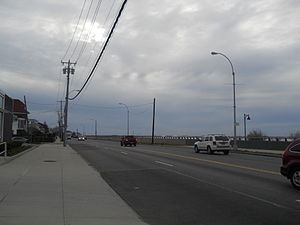
Beach Channel Drive is the main thoroughfare of the Rockaway Peninsula in the New York City borough of Queens. It extends from the Nassau County border at Inwood westward, to the Marine Parkway–Gil Hodges Memorial Bridge at the end of Jacob Riis Park. From Hammels westward, it follows along Jamaica Bay on the northern side of the peninsula.
Map of Beach Channel Dr, Queens, NY, USA
Originally Beach Channel Drive was a relatively short road west of the current site of the Cross Bay Veterans Memorial Bridge, it was greatly expanded by consolidating a number of existing thoroughfares and constructing some linking roadways.
Beach Channel Drive was also the launching point for the first transatlantic flight. On May 8, 1919, four United States Navy Navy-Curtis model seaplanes had taken off from what is now Beach Channel Drive in Neponsit to Newfoundland, Canada, the Azores Islands, and Lisbon, Portugal. Finally on May 31, 1919, only one plane, piloted by Lt. Commander Albert C. Read, arrived in Plymouth, England.