
County Humboldt FIPS code 06-04478 Elevation 20 m Zip code 95503 Area code 707 | Time zone Pacific (PST) (UTC-8) GNIS feature ID 1655816 Area 190 ha Population 2,510 (2010) | |
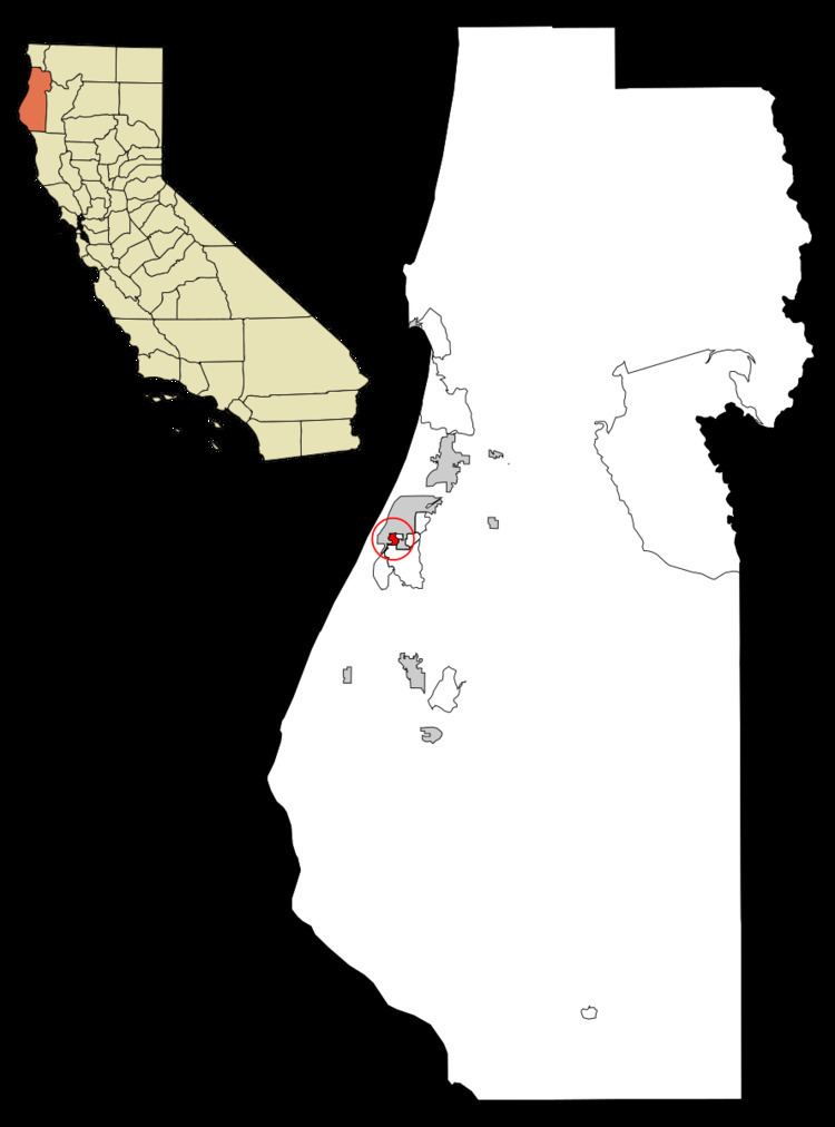 | ||
Bayview (also, Bay View) is a census-designated place (CDP) located adjacent to the City of Eureka in Humboldt County, California, United States. The population was 2,510 at the 2010 census, up from 2,359 at the 2000 census. Many locals consider this area as part of "Pine Hill."
Contents
Map of Bayview, CA 95503, USA
Geography
According to the United States Census Bureau, the CDP has a total area of 0.7 square miles (1.8 km2), all of it land.
History
A post office operated at Bayview from 1925 to 1935.
2010
The 2010 United States Census reported that Bayview had a population of 2,510. The population density was 3,429.8 people per square mile (1,324.2/km²). The racial makeup of Bayview was 1,959 (78.0%) White, 28 (1.1%) African American, 119 (4.7%) Native American, 88 (3.5%) Asian, 5 (0.2%) Pacific Islander, 185 (7.4%) from other races, and 126 (5.0%) from two or more races. Hispanic or Latino of any race were 425 persons (16.9%).
The Census reported that 2,489 people (99.2% of the population) lived in households, 10 (0.4%) lived in non-institutionalized group quarters, and 11 (0.4%) were institutionalized.
There were 1,023 households, out of which 333 (32.6%) had children under the age of 18 living in them, 369 (36.1%) were opposite-sex married couples living together, 167 (16.3%) had a female householder with no husband present, 66 (6.5%) had a male householder with no wife present. There were 112 (10.9%) unmarried opposite-sex partnerships, and 11 (1.1%) same-sex married couples or partnerships. 310 households (30.3%) were made up of individuals and 100 (9.8%) had someone living alone who was 65 years of age or older. The average household size was 2.43. There were 602 families (58.8% of all households); the average family size was 3.06.
The population was spread out with 601 people (23.9%) under the age of 18, 224 people (8.9%) aged 18 to 24, 714 people (28.4%) aged 25 to 44, 678 people (27.0%) aged 45 to 64, and 293 people (11.7%) who were 65 years of age or older. The median age was 36.2 years. For every 100 females there were 96.9 males. For every 100 females age 18 and over, there were 95.8 males.
There were 1,074 housing units at an average density of 1,467.6 per square mile (566.6/km²), of which 649 (63.4%) were owner-occupied, and 374 (36.6%) were occupied by renters. The homeowner vacancy rate was 1.4%; the rental vacancy rate was 2.3%. 1,565 people (62.4% of the population) lived in owner-occupied housing units and 924 people (36.8%) lived in rental housing units.
2000
As of the census of 2000, there were 2,359 people, 936 households, and 586 families residing in the CDP. The population density was 3,203.0 people per square mile (1,230.8/km²). There were 981 housing units at an average density of 1,332.0 per square mile (511.8/km²). The racial makeup of the CDP was 83.68% White, 0.59% Black or African American, 4.87% Native American, 2.16% Asian, 0.17% Pacific Islander, 3.65% from other races, and 4.87% from two or more races. 7.88% of the population were Hispanic or Latino of any race.
There were 936 households out of which 30.8% had children under the age of 18 living with them, 42.6% were married couples living together, 13.7% had a female householder with no husband present, and 37.3% were non-families. 28.0% of all households were made up of individuals and 8.7% had someone living alone who was 65 years of age or older. The average household size was 2.48 and the average family size was 3.00.
In the CDP, the population was spread out with 25.1% under the age of 18, 9.7% from 18 to 24, 29.4% from 25 to 44, 23.0% from 45 to 64, and 12.7% who were 65 years of age or older. The median age was 36 years. For every 100 females there were 97.4 males. For every 100 females age 18 and over, there were 98.0 males.
The median income for a household in the CDP was $26,023, and the median income for a family was $32,941. Males had a median income of $27,542 versus $22,463 for females. The per capita income for the CDP was $14,119. About 20.6% of families and 23.1% of the population were below the poverty line, including 33.9% of those under age 18 and 14.2% of those age 65 or over.
Politics
In the state legislature, Bayview is in the 2nd Senate District, represented by Democrat Mike McGuire, and the 2nd Assembly District, represented by Democrat Jim Wood.
Federally, Bayview is in California's 2nd congressional district, represented by Democrat Jared Huffman.