
- land 0.42 sq mi (1 km) - summer (DST) CDT (UTC-5) Area code 504 | - water 0.00 sq mi (0 km), 0% Area 109 ha | |
 | ||
Restaurants Parkway Bakery & Tavern, Crescent City Steak House, Orchid Seafood, Ming Garden, FLORS & CRISTIN Food/com | ||
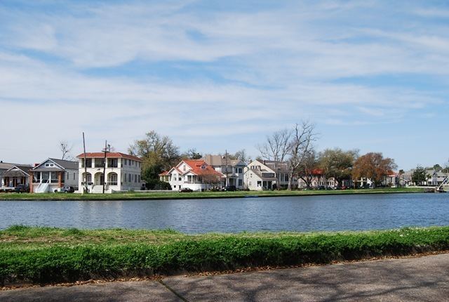
Bayou St. John is a neighborhood of the city of New Orleans. A subdistrict of the Mid-City area, its boundaries as defined by the City Planning Commission are: Esplanade Avenue to the north, North Broad Street to the east, St. Louis Street to the south, and Bayou St. John (the waterway) to the west.
Contents
- Map of Bayou St John New Orleans LA 70119 USA
- Geography
- Adjacent neighborhoods
- Boundaries
- Demographics
- References
Map of Bayou St. John, New Orleans, LA 70119, USA
Geography
According to the United States Census Bureau, the district has a total area of 0.42 square miles (1.1 km2),.
Adjacent neighborhoods
Boundaries
The City Planning Commission defines the boundaries of Bayou St. John as these streets: Esplanade Avenue, North Broad Street, St. Louis Street and Bayou St. John.
Demographics
As of the census of 2000, there were 4,861 people, 2,113 households, and 1,082 families residing in the neighborhood. The population density was 11,574 /mi² (4,419 /km²).
As of the census of 2010, there were 3,529 people, 1,719 households, and 747 families residing in the neighborhood.