
Country Canada Local time Tuesday 10:20 AM | Area code(s) 250, 778 Province British Columbia | |
 | ||
Weather -6°C, Wind NW at 6 km/h, 79% Humidity | ||
Baynes Lake is an unincorporated rural community in the East Kootenay region of British Columbia, Canada, located on the east shore of Lake Koocanusa just north of the mouth of the Elk River.
Contents
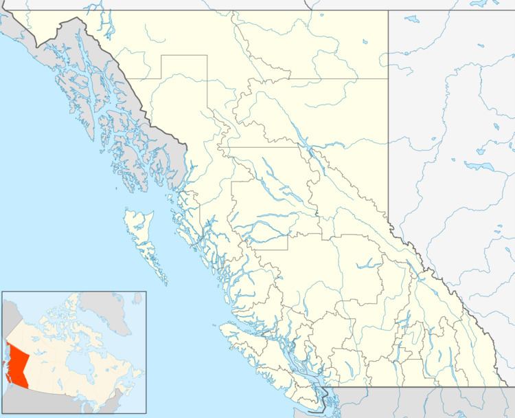
Map of Baynes Lake, BC, Canada
General community
Baynes Lake consists of approximately 160 residences with a number of those belonging to seasonal residents. The village of Baynes Lake includes a community hall, an Anglican church, the Baynes Lake Volunteer Fire Hall, the Baynes Lake General Store, and a community park.
History
The community of Baynes Lake began along the shores of Baynes Lake in 1896. The main attraction for settlers was the opportunity for employment by the Adolph Lumber Company which established a mill site along the eastern shore around 1907. A Baynes Lake station with the Great Northern Railway existed from 1904 to 1937. With the closing of the mill, the population quickly dwindled and workers moved to find employment elsewhere. Many of the remaining residents were farmers or worked in the new portable mills of the area. With flooding of Kootenay River valley to accommodate the Libby Dam in Montana, several families who had been displaced by the rising waters were relocated to small building lots in Baynes Lake.
Local media
The Baynes Lake News is a community newsletter which is published monthly by the Baynes Lake Community Society.