
Time zone CST (UTC+8) Area 55 km² | Elevation 2,994 m | |
 | ||
Country People's Republic of China Region | ||
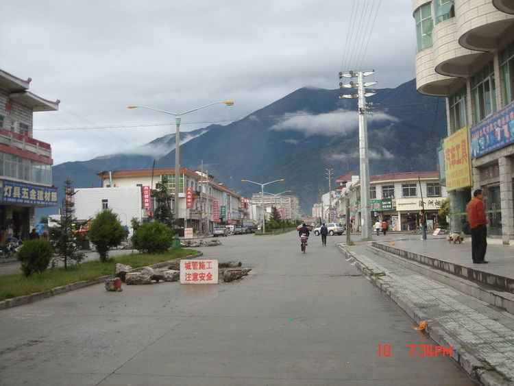
Bayi is a subdistrict in Tibet and seat of Bayi District. It lies on the Nyang River at an altitude of 2,994 metres (9,826 feet). Bayi is an important timber and wool producing town, known historically before the 1960s as Lhabagar. By road it is 405 kilometres (252 mi) east of Lhasa on the way to Chengdu.
The new subdistrict completely absorbed the ancient village of Drakchi, which used to stand on this site. The population is now mostly Han Chinese. The Bayi Zanchen bridge crosses the Nyang-chu or Nyang River here.
There are 9 villages under the jurisdiction of the subdistrict, with a total population of 21,400, from the Han, Hui, Mongolian, Xibe, Manchu ethnicities. The subdistrict covers an area of 55 square kilometres (21 sq mi), with an area of 51,047 mu (3,403 ha) of cultivated land. There has been the extension of two major irrigation channels in the subdistrict to provide for rice farming and the production of other cash crops.
Climate
Bayi has a subtropical highland climate with monsoonal influences (Köppen Cwb). Precipitation is abundant compared to other areas in Tibet and the area around Bayi is covered with trees.