
County Saline Time zone CST (UTC-6) Elevation 388 m Area code 785 | FIPS code 20-04575 Local time Tuesday 8:06 AM | |
 | ||
Weather 9°C, Wind SW at 11 km/h, 85% Humidity | ||
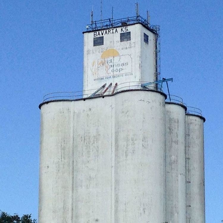
Bavaria is an unincorporated community in Saline County, Kansas, United States. It lies along K-140 and a Union Pacific Railroad line west of the city of Salina.
Contents
Map of Bavaria, KS 67401, USA
History
The place was originally known as Hohneck, after Ernst Hohneck, who settled there in 1865. It was also known as Honek. Bavaria was laid out by E. F. Drake in 1877, and named after the state of Bavaria, in Germany.
Its post office in Bavaria was close in 1986.
Geography
Spring Creek flows through the community.
Demographics
Bavaria a part of Saline County, Bavaria is a part of the Salina micropolitan area.
Education
Bavaria is served by USD 307 Ell-Saline. Ell-Saline schools are located in Brookville. The Ell-Saline school mascot is Cardinals.
Bavaria schools were closed through school unification. The Bavaria High School mascot was Tigers.