
Time zone EST (UTC-5) Climate Am Elevation 75 m | Founded January 14, 1879 Area code(s) +53-47 Area 157 km² Population 45,509 (2004) Local time Tuesday 8:55 AM | |
 | ||
Weather 24°C, Wind E at 14 km/h, 73% Humidity | ||
Bauta is a municipality and city located 40 km (25 mi) southwest of the city of Havana, in the Artemisa Province of Cuba. It was founded on January 14, 1879.
Contents
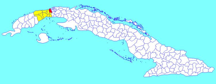
Map of Bauta, Cuba
Geography
The municipality is divided into the barrios of Anafe, Baracoa, Bauta, Cangrejeras, Félix E. Alpízar (Corralillo), Cayo La Rosa and General Antonio Maceo (San Pedro), Pueblo Textil.
Río Baracoa crosses the municipality, and Playa Baracoa is established at its mouth at the Gulf of Mexico.
Economy
Bauta is a regional trading center for the local farm community. Regional crops include sugarcane, pineapple, tobacco, root vegetables, and citrus fruits. In recent years Bauta has become a haven for Cuban artists and musicians.
Demographics
In 2004, the municipality of Bauta had a population of 45,509. With a total area of 157 km2 (61 sq mi), it has a population density of 289.9/km2 (751/sq mi).