
District 1st district Barangays Area 56.28 km² | Founded 1951 Time zone PST (UTC+8) Area code 56 Dialling code 56 | |
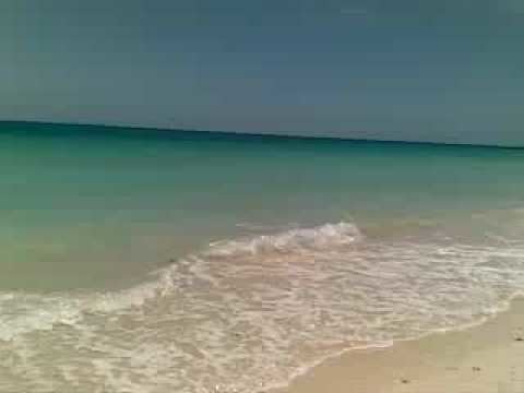 | ||
Undiscovered batuan masbate
Batuan is a fifth class municipality in the province of Masbate, Philippines. It is located at the southern point of Ticao Island. According to the 2010 census, it has a population of 13,764 people. It is the smallest municipality in Masbate, both in land area and population.
Contents
Map of Batuan, Masbate, Philippines
In 1951, the barrios of Batuan, Burgos, Gibraltar, Costa Rica, Panisihan, and Matabao were separated from San Fernando to form the Municipality of Batuan.
The municipality is home to the Bongsanglay Natural Park.
Barangays
Batuan is politically subdivided into 14 barangays.
References
Batuan, Masbate Wikipedia(Text) CC BY-SA