
Province North Sumatra | ||
 | ||
Similar Mentawai Islands Regency, Berhala Island, Pagaruyung Kingdom, Lake Maninjau, Lake Toba | ||
The Batu Islands are an archipelago of Indonesia located in the Indian Ocean off the west coast of Sumatra, between Nias and Siberut. The three primary islands, of approximately equal size, are Pini, Tanahmasa, and Tanahbala. There are forty-eight smaller islands, of which the largest are Sipika, Simuk, Bodjo, Telo and Sigata; less than half are inhabited. The islands are governed as a part of South Nias regency within North Sumatra province. In Indonesian and Malay, batu means rock or stone.
Map of Batu Islands, South Nias Regency, North Sumatra, Indonesia
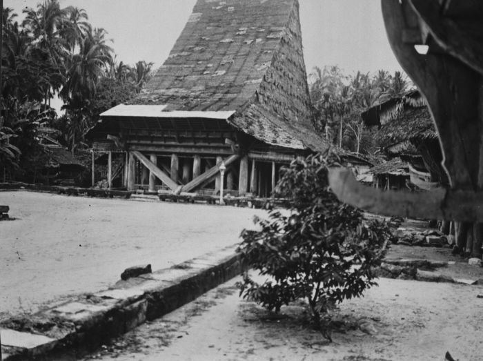
The people of the Batu Islands have had substantial interaction with the populations of Nias, to the north, whose language they share. The islands have occasionally been a destination for slaves who escaped from Nias, and in the past decade have become a destination for surfing boat charters from Padang, on the Sumatran mainland. The population at the 2010 Census was 18,848.
The equator passes through the archipelago, north of Tanahmasa and south of Pini. Administratively, Pini (with offshore islets) forms the Pulau-pulau Batu Timur (East Batu Islands) District of South Nias Regency; the rest of the archipelago forms the Pulau-pulau Batu (Batu Islands) District of the same regency. The islands were visited by Simon Reeve during Equator, a 2006 BBC TV Series.