
Prominence 1,018 ft (310 m) Topo map USGS Battle Ax | Parent range Cascades Age of rock 1 to 2 million years | |
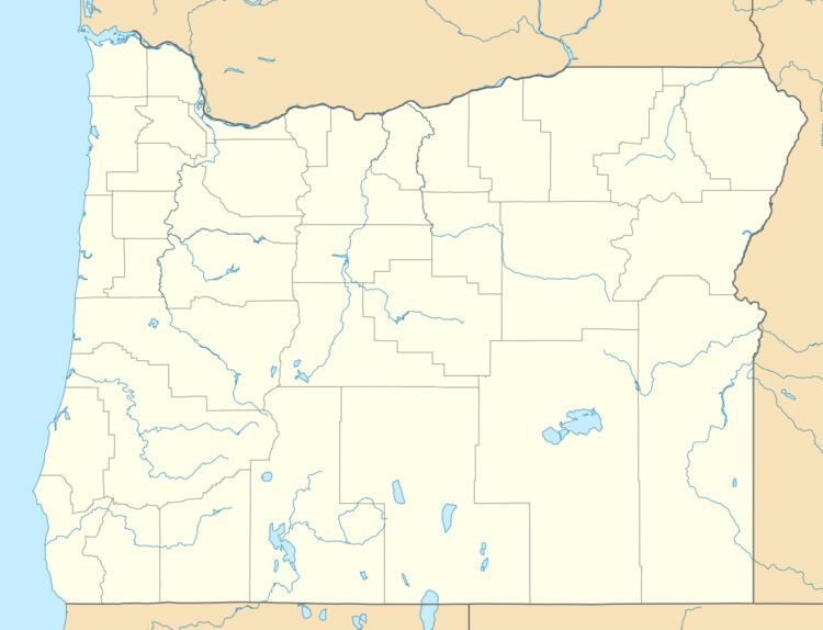 | ||
Elevation 5,566 ft (1,697 m) NAVD 88 Location Marion County, Oregon, U.S. | ||
Battle Ax is a shield volcano in the West Cascade Range of Oregon. The shield is mostly made of andesite. The summit, which can be reached via the Battle Ax Mountain trail, marks the boundary between the Mount Hood National Forest and the Willamette National Forest as well as the boundary between the Opal Creek Wilderness and the Bull of the Woods Wilderness.
Battle Ax was supposedly named after the variety of chewing tobacco used by a local logger.
References
Battle Ax Wikipedia(Text) CC BY-SA