
District Varanasi Elevation 88 m Local time Thursday 11:16 AM | Time zone IST (UTC+5:30) Population 10,517 (2001) | |
 | ||
Weather 28°C, Wind N at 3 km/h, 39% Humidity | ||
Baragaon is a census town in Varanasi district in the state of Uttar Pradesh, India.
Contents
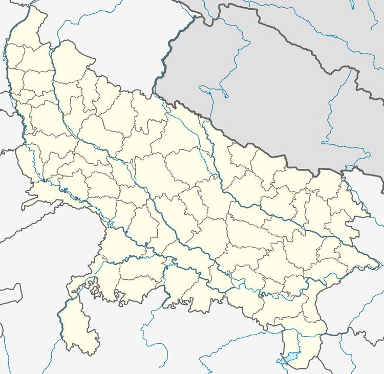
Map of Baragaon, Uttar Pradesh
Geography
Baragaon is located at 25.43°N 82.82°E / 25.43; 82.82. It has an average elevation of 88 metres (288 feet).
Demographics
As of 2001 India census, Baragaon had a population of 10,517. Males constitute 53% of the population and females 47%. Baragaon has an average literacy rate of 56%, lower than the national average of 59.5%; with 65% of the males and 35% of females literate. 21% of the population is under 6 years of age.
Education
Baragaon is considered as educational hub of nearby areas. Shri Baldeo Post Graduate College is preferred by most students of the area for higher studies. Baragaon is near to International airport varanasi.
About Town
Baragaon is midium scale town of Varanasi Dist. about 15 KM away,and 3 KM away to International Airport (Babatpur). Baragaon has got its own history & identity by 500 yrs old Sri Ram-Janki Temple.