
Area 6.25 km² | Local time Thursday 6:23 AM | |
 | ||
Weather 0°C, Wind SW at 6 km/h, 93% Humidity | ||
Dohz bara
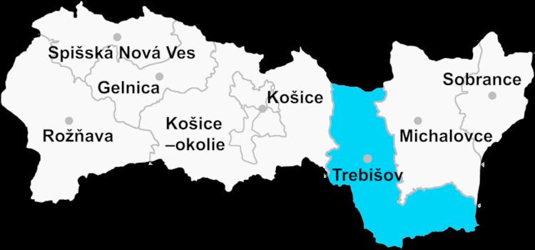
Bara (Hungarian: Báry ) is a village and municipality in the Trebišov District in the Košice Region of eastern Slovakia.
Contents
Map of 076 32 Bara, Slovakia
History
In historical records the village was first mentioned in 1296 as Bary. Until 1920 it was part of Hungary. From 1938 until 1944 it was occupied by Hungary under the First Vienna Award.
Geography
The village lies at an altitude of 181 metres and covers an area of 6.252 km². It has a population of 350 people.
Ethnicity
The village is approximately 72% Hungarian and 28% Slovak.
References
Bara, Trebišov District Wikipedia(Text) CC BY-SA