Country India District Jodhpur Time zone IST (UTC+5:30) Elevation 260 m | State Rajasthan Tehsil Bawadi PIN 342037 ISO 3166 code ISO 3166-2:IN | |
 | ||
Baori is a panchayat village in the state of Rajasthan, India, Baori is the headquarters town for Bawadi tehsil of Jodhpur District in Rajasthan. Baori is the only village in the gram panchayat.
Contents
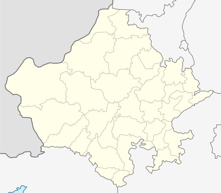
Map of Baori, Rajasthan
Etymology
The town is named after the step-well there, known as a bawari or baori.
Geography
Baori is located in the Thar Desert at an elevation of 260 metres (853 ft) above mean sea level. The town lies alongside National Highway 65, and is 40 km by road north of the city of Jodhpur.
History
Before 2009, Baori was part of Bhopalgarh tehsil.
Demographics
In the 2001 census, the town of Baori had 10,212 inhabitants, with 5,419 males (53.1%) and 4,793 females (46.9%), for a gender ratio of 884 females per thousand males.
References
Baori, Bawadi Wikipedia(Text) CC BY-SA
