- elevation 5,953 ft (1,814 m) Basin area 1,230 km² Country United States of America | - elevation 4,357 ft (1,328 m) | |
 | ||
Bannock Creek is a 67-mile (110 km) long tributary of the Snake River in the U.S. state of Idaho. Beginning at an elevation of 5,953 feet (1,814 m) north of Holbrook in northern Oneida County, it flows north into Power County and through the Arbon Valley, the town of Pauline, and the Fort Hall Indian Reservation. It then reaches its mouth at American Falls Reservoir, and impoundment of the Snake River, midway between the towns of American Falls and Pocatello, at an elevation of 4,357 feet (1,328 m). Bannock Creek has a 475-square-mile (1,230 km2) watershed.
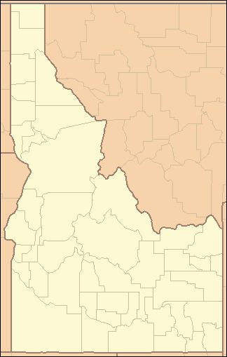
Map of Bannock Creek, Idaho, USA
References
Bannock Creek Wikipedia(Text) CC BY-SA
