
PIN 175123 Elevation 1,356 m Local time Thursday 3:57 AM | Time zone IST (UTC+5:30) Telephone code 01903 Population 1,262 (2001) Area code 01903 | |
 | ||
Weather 3°C, Wind E at 6 km/h, 69% Humidity | ||
Jalory pass and bahu old village banjar india june 2013
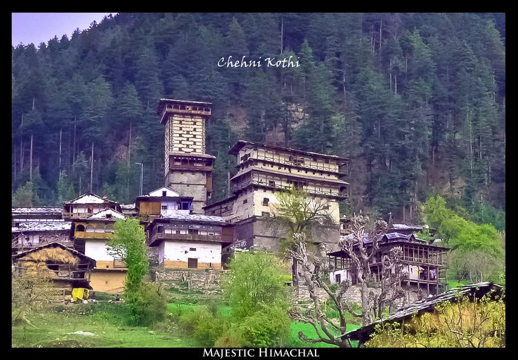
Banjar is a town in Kullu district in the state of Himachal Pradesh, India. Banjar is also known as the 'Valley of God'. The Tirthan valley is also located in Banjar.
Contents
- Jalory pass and bahu old village banjar india june 2013
- Map of Banjar Himachal Pradesh 175123
- Geography
- Demographics
- References
Map of Banjar, Himachal Pradesh 175123
Geography
Banjar is located at 31.63°N 77.35°E / 31.63; 77.35. It is situated at the height of 1356 metres (4515.48 feet) from sea level. The place lies on the alternate route to Kullu from Shimla. The main route is via Bilaspur and Mandi. The alternate route goes from Theog, Aani, Jalori Pass, Banjar and joins the main route at Aut. The Banjar Valley is in the middle Himalayan range and going towards east, the peaks progressively get taller, finally giving way to the great Himalayan range, where peaks have heights of 4500 meters and above. The valley is also a gateway to The Great Himalayan National Park from its north-eastern side. The town consists of a lot of low cost tourism places and serves as a summer destination.
Demographics
As of 2001 India census, Banjar had a population of 1262. Males constitute 55% of the population and females 45%. Banjar has an average literacy rate of 84%, higher than the national average of 59.5%; with 89% of the males and 78% of females literate. 8% of the population is under 6 years of age, of which 52% are male and 48% are female.