
Elevation 2,832 m | ||
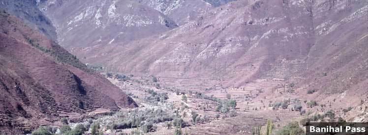 | ||
Banihal Pass (Devanagari: बनिहाल दर्रा Urdu: بانہال درا)is a mountain pass across the Pir Panjal Range at 2,832 m (9,291 ft) maximum elevation. This mountain range connects the Kashmir Valley in the Indian state Jammu and Kashmir to the outer Himalaya and plains to the south. Banihal pass remains covered by heavy snow during most of the year. In the Kashmiri language, "Banihāl" means blizzard.
Map of Banihal Pass
The road from Jammu to Srinagar transversed Banihal Pass until 1956 when Jawahar Tunnel was constructed under the pass. The road now passes through the tunnel and the Banihal Pass is no longer used for road transport.
References
Banihal Pass Wikipedia(Text) CC BY-SA