
Time zone EST (UTC-5) Area 781 km² Local time Wednesday 1:49 PM | Established 1887 Area code(s) +53-24 Elevation 100 m | |
 | ||
Weather 28°C, Wind E at 29 km/h, 59% Humidity | ||
Banes is a municipality and city in the Holguín Province of Cuba.
Contents
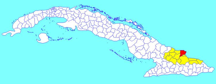
Map of Banes, Cuba
The name comes from the inhabitants Taino language word Bani, meaning "valley".
Geography
The municipality is divided into the barrios of Angeles, Berros, Cañadón, Durruthy, Este, Flores, Macabi, Mulas, nuevo Banes, Oeste, Retrete, Río Seco, Samá (includes Guardalavaca), Marcané, Veguitas and Yaguajay.
Demographics
In 2004, the municipality of Banes had a population of 81,274. With a total area of 781 km2 (302 sq mi), it has a population density of 104.1/km2 (270/sq mi).
Fulgencio Batista was born in the city of Banes.
Hurricane Ike made landfall here as a Category 4 hurricane on the evening of September 7, 2008, causing great losses of property.
References
Banes, Cuba Wikipedia(Text) CC BY-SA