
Area 22.2 km² | ||
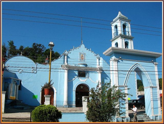 | ||
Banderilla is a municipality located in the central zone of the State of Veracruz, Mexico, about 9 km from the state capital, Xalapa. It has a surface area of 22.21 km². It is located at 19°35′N 96°56′W. Tradition has it that the name alludes to a small flag (banderilla) that thieves would hoist on the summit of the hill of La Martinica as a signal to their accomplices that a valuable goods were being moved along the royal highway.
Contents
Map of Banderilla, Ver., Mexico
Geographical limits
Banderilla Municipality is delimited to the north and north-east by Jilotepec Municipality, to the east and the south by Xalapa Municipality, to the south-east and west by Rafael Lucio Municipality. To the municipality it is watered by tributary rivers of the río Sedeño, which in turn is a tributary of the river Actopan.
Agriculture
It produces principally maize, sugarcane and coffee.
Celebrations
In Banderilla , in March takes place the celebration in honor to San José, Patron of the town, and in December takes place the celebration in honor to Virgen de Guadalupe.
Weather
The weather in Banderilla is cold and wet all year with rains in summer and autumn.