
Local time Wednesday 2:43 PM | ||
 | ||
Weather 24°C, Wind NE at 10 km/h, 90% Humidity | ||
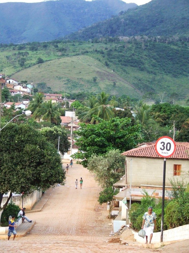
Bandeira is a Brazilian municipality located in the state of Minas Gerais. Its population as of 2007 was estimated to be 5,337 people living in a total area of 484 km². The city belongs to the mesoregion of Jequitinhonha and to the microregion of Almenara.
Map of Bandeira - State of Minas Gerais, Brazil
Bandeira is located 37 km. northeast of Almenara, just south of the boundary with the state of Bahia. Highway connections are poor making the region isolated.
The elevation was 292 meters. Bandeiras became a municipality in 1962. The main economic activities are cattle raising (22,000 head in 2006) and the cultivation of cacao, oranges, sugarcane and corn. The GDP in 2006 was R$15,053,000. There were no banking agencies as of 2007. In the same year there were 63 automobiles.
This municipality is isolated from major population centers and suffers from drought and poor soils.