
Area 9.64 km² | Canton Gond-Pontouvre Population (2010) 1,303 Local time Wednesday 1:51 PM | |
 | ||
Weather 12°C, Wind SW at 26 km/h, 93% Humidity | ||
Balzac is a French commune in the Charente department in the Nouvelle-Aquitaine region of south-western France.
Contents
- Map of 16430 Balzac France
- Geography
- Geology and terrain
- Hydrography
- Climate
- Toponymy
- History
- Administration
- Demography
- Distribution of Age Groups
- Education
- Sites and monuments
- Notable people linked to the commune
- References
Map of 16430 Balzac, France
The inhabitants of the commune are known as Balzatois or Balzatoises.
Geography
Balzac is located some 7 km north-west of Angoulême. Access to the commune is by the D737 from Angoulême which passes through the east of the commune and the town continuing north to Montignac-Charente. The D105 branches off the D737 north of the town and goes east to Champniers. The D406 also branches off the D737 and goes west to Vindelle. Apart from the town there are the hamlets of Coursac, La Chapelle, Les Chabots, and Les Courlis in the commune. The commune is mostly farmland with a small forest in the south-west and a significant urban area for the town.
Geology and terrain
Balzac occupies the interior of a wide bend of the Charente. The bedrock of the large eastern half of the commune, which is the highest in altitude, consists of limestone dating from the Upper Jurassic (Kimmeridgian) period.
The centre of the town, between Labbés, Genin, and Texier, is located on old alluvium from the Quaternary period.
The western part of the commune, between La Chapelle and Chabots, contains other alluvial deposits which form a low terrace. The river bed (floodplain) is itself made up of more recent alluvium (silt, sandy clay, and peat).
The terrain that separates the valley of the Charente from that of the Argence forms a kind of long cliff, very high and steep in its northern part, which is the concave side of the bend in the river near the villages of Coursac and Font-Saint-Martin, which gradually decreases in height to end at the foot of the Chateau of Balzac.
The highest point in the commune is at an altitude of 102 m east at Puylebin to the east of Coursac. The lowest point is 30 m at on the Charente river at the confluence of the Argence. The village is about 60 m above sea level.
Hydrography
The Charente river forms the entire south, west, and north-west border of the commune as it flows around the commune and continues south-east to eventually join the Atlantic Ocean at Rochefort. The Argence flows from the north-east and forms much of the eastern border where it joins the Charente in the south-eastern corner of the commune.
Climate
The climate is oceanic Aquitaine and similar to the town of Cognac where the departmental weather station is located.
Toponymy
Old forms of the name Balzac are Balazacum and Balazaco in 1298.
According to Dauzat, the origin of the name Balzac dates back to a Gallo-Roman person Ballitius, which itself is derived from Ballius, to which is added the suffix -acum which would give Ballitiacum or "Domain of Ballitius". According to other sources, Balatius was the name of a Gallic man, derived from Balatos.
History
Aerial archaeology has revealed evidence of a Neolithic Bronze Age Promontory fort on the slopes of Coursac in a position dominating the Charente.
A Chateau existed in the 12th century and Balzac was a former fief under the Bishopric of Angoulême and the barony of Tourriers which was acquired in 1398 by Guy de La Rochefoucauld. From the 12th to the 17th century the chateau passed through many hands. The present chateau was rebuilt on the same site in 1600 by Guillaume Guez and his wife who left from time to time for their house in Angoulême. It was the residence of the family Guez de Balzac and Jean-Louis Guez de Balzac, the "Restorer of the French Language", lived there.
From 4 March to 29 August 1619 Marie de' Medici was hosted there by the Guez family, "not wishing to stay elsewhere until the peace that made her son Louis XIII". The castle became the crossroads for personalities of the time during her stay - such as Cardinal Richelieu, the Duke of Épernon, the Cardinal de La Rochefoucauld, and the Count of Bethune.
The road to Vars was a transport route by donkey for Salt to the port of Basseau. The name la Montée des Sauniers (Ascent of Salt workers) above Coursac came from this.
Formerly the Terrier de Bourguignol, then called the Plantier de Bourguignone, located near the Pont Suraud (Suraud Bridge) on the Argence was a dolmen called the Tomb of Bourguignon which was still visible in 1760.
At the beginning of the 20th century cherries and peas from Balzac were particularly appreciated from Angoulême to Paris. The fields provided milk feeding two major dairy factories in the commune, run by Messrs. Hortolan and Rochier.
Administration
List of Successive Mayors
(Not all data is known)
Demography
In 2010 the commune had 1,303 inhabitants. The evolution of the number of inhabitants is known from the population censuses conducted in the commune since 1793. From the 21st century, a census of communes with fewer than 10,000 inhabitants is held every five years, unlike larger communes that have a sample survey every year.
Sources : Ldh/EHESS/Cassini until 1962, INSEE database from 1968 (population without double counting and municipal population from 2006)
Balzac lost 30% of its population in the second half of the 19th century which then stabilised and experienced consistent growth in the last quarter of the 20th century.
Distribution of Age Groups
Percentage Distribution of Age Groups in Balzac and Charente Department in 2010
Sources:
Education
The school is an Inter-communal Educational Grouping (RPI) with Vindelle. Balzac has a primary school (Nursery and from CP to CE2) and Vindelle has an elementary school (from CE2 to CM2). The Jean Caillard High School for Balzac is located in Genins.
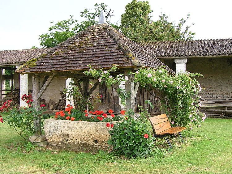
Sites and monuments
Balzac is also the location of the headquarters of the Community of communes of Braconne and Charente.