
Population 353 (2011 census) Postcode(s) 3926 Postal code 3926 | Established 1910s Local time Wednesday 9:19 PM | |
 | ||
Weather 18°C, Wind SE at 16 km/h, 94% Humidity | ||
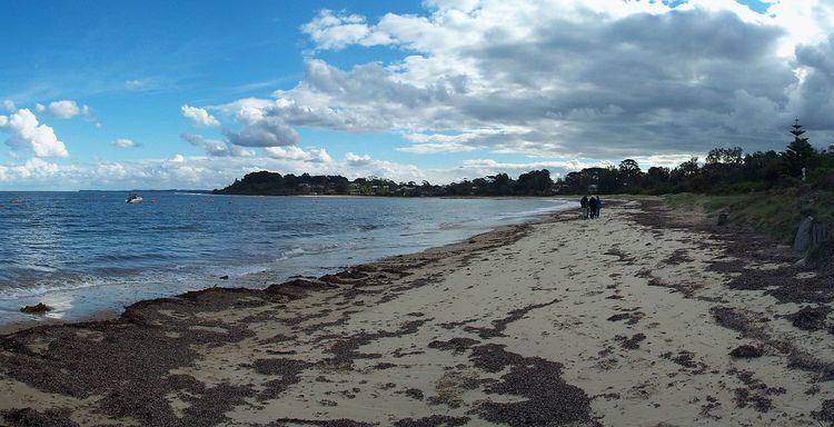
Balnarring Beach is a town in Victoria, Australia, 2 km south of Balnarring. Its local government area is the Shire of Mornington Peninsula and in 2006 it was rated by the Keep Australia Beautiful Council as 'Australia's Cleanest Beach', out of 317 beaches in five states.
Contents
Map of Balnarring Beach VIC 3926, Australia
It was previously known as Tulum Beach.
History
The township was first gazetted in 1886, in a street configuration quite different to what exists today.
The beach first began to attract holidaymakers in the 1910s, and beach stores and kiosks commenced operations, serving both day-trippers and campers. The Harley-Davidson Motorcycle Club set up base here after their formation in 1924. During World War II, businesses were sustained by servicemen training at Somers.
In 1944, a mobile library operated from a private home for the Flinders Shire by Wally Turner. Balnarring Beach Post Office opened on 1 July 1947 and closed in 1978. In 1960 the yacht club was given permission to erect a winch and slipway and build a clubhouse.
Present day
Balnarring Beach today consists primarily of holiday homes and camping grounds, and contains a general store, picnic facilities and several caravan parks. Most other services are provided by nearby Balnarring township.