
OS grid reference NR395662 Sovereign state United Kingdom Postcode district PA45 Local time Wednesday 2:53 AM | Post town ISLE OF ISLAY Dialling code 01496 | |
 | ||
Weather 4°C, Wind W at 21 km/h, 88% Humidity | ||
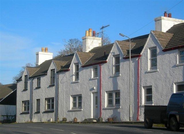
Ballygrant (Scottish Gaelic: Baile a' Ghràna) is a small village on the Inner Hebrides island of Islay of the western coast of Scotland. The village is within the parish of Killarow and Kilmeny.
Map of Ballygrant, Isle of Islay, UK
Ballygrant (Baile a' Ghràna) is the longest established village on Islay, pre-dating the clearance and distillery villages on the coast, and nearby place names suggest connections to Viking times.
Ballygrant means 'the town of the grain' and the water powered mill, now demolished, was turning oats into meal until the early 20th century. Later the water wheel powered a sawmill until electricity took over in the late 1960s.The oldest part of the village, where Craigard House stands, is at the junction of the A846 road, connecting Port Askaig and Port Ellen, and the Glen road.